
Your data remains only in this browser.

My local profile

0Favorites0Visited0Want to visit0My itineraries

Preferences

Topics you are interested in

Recommended for you

Destinations related to your interests that you have not marked yet.

♡ Favorites

    ✓ Visited

      + Want to visit

          Take your profile to another device

          Download a JSON copy or import one created by Costa Rica Hub.

          This profile does not create an account, is not sent to Costa Rica Hub and may disappear if you clear browser data.

          Costa Rica Hub

          Search Costa Rica Hub

          Enter at least 2 characters to search guides, destinations, tools and articles.

            Province of Costa Rica

            Alajuela

            Coffee, volcanoes, crafts and northern lowlands

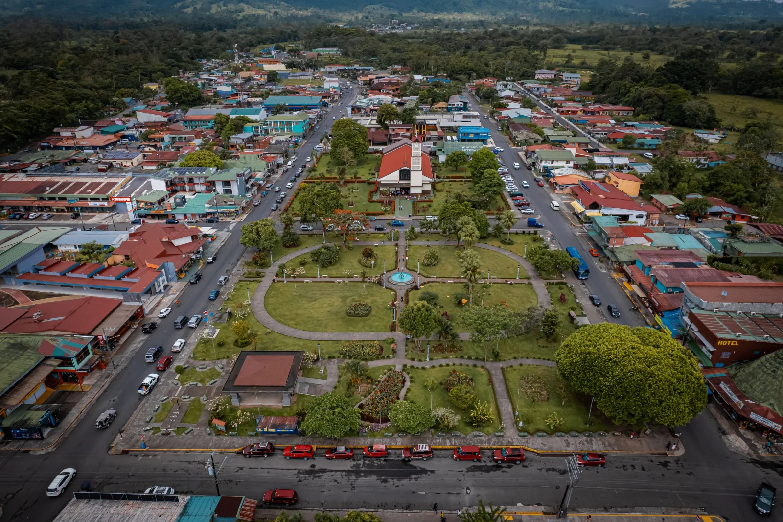
            Alajuela links a city near Costa Rica’s main international airport with coffee towns, Poás Volcano, the San Ramón mountains and an extensive Northern Zone of rainforest, cattle country and hot springs around San Carlos and La Fortuna.

            Provincial capital
            Alajuela
            Geographic area
            Western Central Valley, Central Range and Northern Zone
            Best for
            Coffee, crafts, volcanoes, hot springs, rural travel and air connections.
            Add to itinerary
            Alajuela, Costa Rica

            Understanding the province

            History and identity

            The memory of national hero Juan Santamaría is central to the provincial capital. In the west, Grecia, Sarchí and Naranjo express coffee and craft traditions; around San Carlos, identity is tied to cattle, farming, regional trade and nature tourism.

            Landscape and territory

            The province rises from the Central Valley toward Poás and the western mountains before descending into humid northern plains. It contains cloud forest, coffee, sugar cane, wetlands, rivers and the dominant Arenal landscape.

            Climate

            The western Central Valley is mild and comparatively dry in the dry season. Poás and the highlands are cold and foggy. San Carlos and the northern border are warm and rainy for much of the year, with downpours affecting roads and activities.

            Getting around

            Alajuela city connects easily with San José and the airport. Western towns have frequent buses, while the Northern Zone takes several hours by road. La Fortuna is not beside the airport simply because both are in Alajuela Province.

            Starting itinerary

            Cities and towns to start with

            This initial selection combines capitals, regional centres and representative towns. It is not a list of every canton or district.

            01

            Provincial capital

            Alajuela

            A city of parks, market, cathedral and civic memory. It is a practical airport-area base and departure point for Poás and western towns.

            02

            Coffee city

            Grecia

            Known for its metal church, central park and coffee-and-sugar landscape. Combine its centre with nearby towns on a short circuit.

            03

            Craft town

            Sarchí

            A centre of painted oxcart and furniture traditions. Workshops explain the craft beyond the oversized oxcart in the park.

            04

            Western town

            Atenas

            A Central Valley–Pacific link combining warm weather, agriculture and a small centre, useful as a stop, temporary base or rural touring point.

            05

            Regional cultural centre

            San Ramón

            A university and commercial city with political and cultural history. Its mountains lead to reserves, coffee and routes toward La Fortuna.

            06

            San Carlos economic centre

            Ciudad Quesada

            The Northern Zone’s main service centre, with commerce, hospitals and connections to rural communities, hot springs and protected areas.

            07

            Tourism town

            La Fortuna

            The best-known base for Arenal Volcano, hot springs, waterfalls and reserves. Downtown is compact but attractions are dispersed and usually require transport.

            Location

            Location on the map

            Use the map as a reference to identify the area and plan your journey.

            Open in Google Maps ↗

            Google Maps is an external service. The map loads only after you choose to show it, and Google may receive technical connection data.

            Important: The marker is a geographic reference. Check the route, access and current conditions before travelling.

            Before you go

            Planning advice

            1. Separate a Central Valley circuit from a San Carlos or La Fortuna stay.
            2. Reserve Poás and verify visibility and operating status on the day.
            3. Check Sarchí workshop hours; not all operate on Sundays.
            4. Expect year-round rain in the Northern Zone and download maps for areas with inconsistent signal.

            Important: Distances, transport, weather and access conditions can change. Confirm schedules and routes close to your travel date.