
Your data remains only in this browser.

My local profile

0Favorites0Visited0Want to visit0My itineraries

Preferences

Topics you are interested in

Recommended for you

Destinations related to your interests that you have not marked yet.

♡ Favorites

    ✓ Visited

      + Want to visit

          Take your profile to another device

          Download a JSON copy or import one created by Costa Rica Hub.

          This profile does not create an account, is not sent to Costa Rica Hub and may disappear if you clear browser data.

          Costa Rica Hub

          Search Costa Rica Hub

          Enter at least 2 characters to search guides, destinations, tools and articles.

            Province of Costa Rica

            Guanacaste

            Savannas, Chorotega towns, volcanoes and the North Pacific

            Guanacaste contains some of Costa Rica’s best-known beaches, but its identity also lives in cattle savannas, Liberia and Nicoya, Chorotega pottery, civic festivals and the volcanoes of its mountain range.

            Provincial capital
            Liberia
            Geographic area
            North Pacific and Guanacaste Range
            Best for
            Regional culture, beaches, dry forest, volcanoes, food and sunsets.
            Add to itinerary
            Guanacaste, Costa Rica

            Understanding the province

            History and identity

            The province has a strong regional identity expressed through music, bull riding, marimba, bombas, maize-based cooking and Chorotega memory. The Annexation of the Partido de Nicoya is celebrated every July 25 and is central to provincial and national history.

            Landscape and territory

            Tropical dry forest, cattle plains and a coast of bays, peninsulas and beaches dominate. The eastern range rises toward Rincón de la Vieja, Miravalles, Orosi and Tenorio, where wetter forest, rivers and geothermal activity increase.

            Climate

            The dry season is intense, sunny and dusty, particularly from December through April. Rain transforms the landscape and can affect coastal roads. Mountains are cooler and wetter than the coast.

            Getting around

            Liberia is the main air and road hub. Distances between beaches can be long because bays and peninsulas require detours. Some roads have improved, while gravel routes can still change significantly in rain.

            Starting itinerary

            Cities and towns to start with

            This initial selection combines capitals, regional centres and representative towns. It is not a list of every canton or district.

            01

            Provincial capital

            Liberia

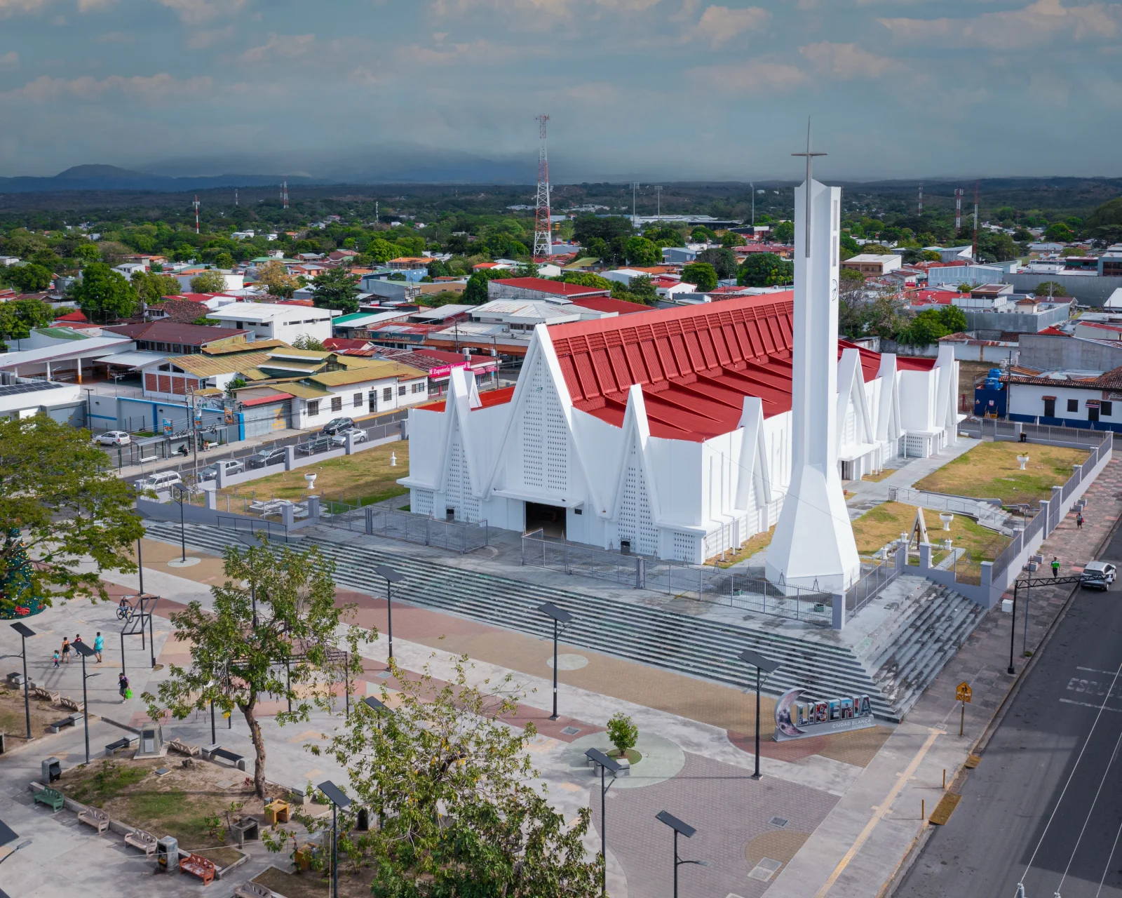
            The “White City” preserves adobe houses, historic streets and regional services. It is the most practical base for the airport, Rincón de la Vieja and northern Guanacaste.

            02

            Historic Chorotega city

            Nicoya

            One of Costa Rica’s oldest historic centres, with a colonial church, religious traditions and access to the peninsula and craft communities.

            03

            Folkloric city

            Santa Cruz

            Known for festivals, music, Guanacaste cooking and proximity to Guaitil, where Chorotega pottery traditions continue.

            04

            Tourism beach town

            Tamarindo

            An international beach and surf centre with extensive services. Growth, traffic and nightlife make it different from smaller coastal towns.

            05

            Beach town

            Sámara

            A sheltered bay and walkable centre suited to families and slower stays, with access toward Carrillo and the Nicoya Peninsula.

            06

            Inland centres

            Tilarán and Cañas

            Tilarán connects with Lake Arenal and windy mountain landscapes; Cañas is an Inter-American Highway hub near rivers, estates and protected areas.

            Location

            Location on the map

            Use the map as a reference to identify the area and plan your journey.

            Open in Google Maps ↗

            Google Maps is an external service. The map loads only after you choose to show it, and Google may receive technical connection data.

            Important: The marker is a geographic reference. Check the route, access and current conditions before travelling.

            Before you go

            Planning advice

            1. Do not choose beaches based only on straight-line distance; check actual road time.
            2. Book early for the dry season, Easter week and school holidays.
            3. Carry water and sun protection, and take extra care with heat and fire in dry forest.
            4. At Ostional and nesting areas, follow official rules and authorized guides.

            Important: Distances, transport, weather and access conditions can change. Confirm schedules and routes close to your travel date.