
Your data remains only in this browser.

My local profile

0Favorites0Visited0Want to visit0My itineraries

Preferences

Topics you are interested in

Recommended for you

Destinations related to your interests that you have not marked yet.

♡ Favorites

    ✓ Visited

      + Want to visit

          Take your profile to another device

          Download a JSON copy or import one created by Costa Rica Hub.

          This profile does not create an account, is not sent to Costa Rica Hub and may disappear if you clear browser data.

          Costa Rica Hub

          Search Costa Rica Hub

          Enter at least 2 characters to search guides, destinations, tools and articles.

            Province of Costa Rica

            Limón

            Afro-Caribbean culture, canals, cacao and the southern Caribbean

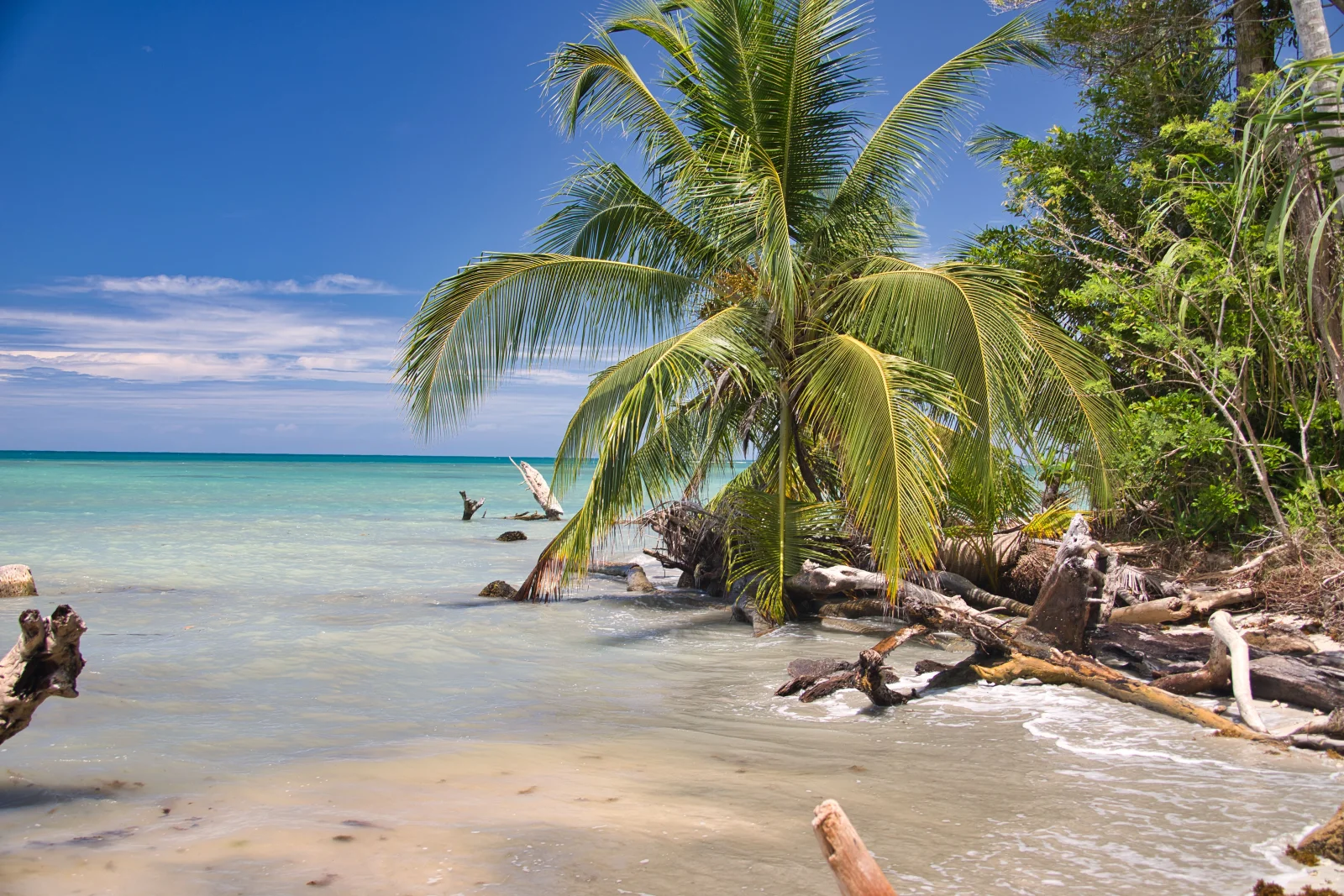
            Limón brings together port cities, coastal villages, canals, plantations, Indigenous territories and major protected areas. Afro-Caribbean culture, Limonese calypso, cacao and distinctive food clearly differentiate the province from the rest of Costa Rica.

            Provincial capital
            Limón
            Geographic area
            Caribbean lowlands and coast
            Best for
            Afro-Caribbean culture, beaches, cacao, wetlands, wildlife and coastal communities.
            Add to itinerary
            Limón, Costa Rica

            Understanding the province

            History and identity

            Railway construction and the arrival of Afro-Caribbean, Chinese and European populations alongside Indigenous peoples produced a multicultural history. Limonese Creole English, calypso, rice and beans, rondón and Caribbean celebrations are living culture rather than tourism decoration.

            Landscape and territory

            The coast alternates beaches, reefs, wetlands and river mouths. In the north, canals connect Tortuguero and Barra del Colorado; in the south, Talamanca combines forest, coast and Bribri and Cabécar territories. Inland areas include agricultural plains and corridors toward the Central Range.

            Climate

            The Caribbean does not follow the Pacific dry season exactly. Rain is possible in every month, with relatively drier windows at different times. Humidity, flooding and surf should be checked close to travel dates.

            Getting around

            Route 32 links San José and can close because of landslides or collisions. Limón, Guápiles, Tortuguero and the southern Caribbean are separate areas. Tortuguero requires boat or air travel; Puerto Viejo and Manzanillo follow the southern coastal road.

            Starting itinerary

            Cities and towns to start with

            This initial selection combines capitals, regional centres and representative towns. It is not a list of every canton or district.

            01

            Provincial capital and port

            Limón

            The city preserves architecture, parks, market and railway-and-port memory. Visit with local context and do not use it as a synonym for the entire Caribbean coast.

            02

            Inland regional centre

            Guápiles

            A commercial and transport node between San José, Sarapiquí and the Caribbean, providing services for agriculture, reserves and Tortuguero routes.

            03

            Connection city

            Siquirres

            An agricultural and logistics centre on Route 32, with access to rivers, communities and the mid-Caribbean. Many travellers pass through without seeing its regional role.

            04

            Canal village

            Tortuguero

            A roadless community between canals, sea and national park. Turtle-viewing seasons and rules should be checked through official channels.

            05

            Coastal village

            Cahuita

            A small centre beside the national park, with strong Afro-Caribbean identity, trails, beach and reef access dependent on sea conditions.

            06

            Caribbean tourism town

            Puerto Viejo de Talamanca

            Services, food, cycling, beaches and nightlife. It is distinct from Puerto Viejo de Sarapiquí and works as the southern Caribbean base.

            07

            Talamanca centre

            Bribri

            The cantonal centre and a connection point for communities, rivers and Indigenous territories. Community visits require respect, coordination and legitimate local operators.

            Location

            Location on the map

            Use the map as a reference to identify the area and plan your journey.

            Open in Google Maps ↗

            Google Maps is an external service. The map loads only after you choose to show it, and Google may receive technical connection data.

            Important: The marker is a geographic reference. Check the route, access and current conditions before travelling.

            Before you go

            Planning advice

            1. Check Route 32 before travel and keep an alternative plan for closures.
            2. Do not treat Tortuguero and the southern Caribbean as one base; transfer takes much of a day.
            3. Respect turtle, reef and Indigenous-territory rules.
            4. Carry rain protection year-round and take rip currents seriously at beaches.

            Important: Distances, transport, weather and access conditions can change. Confirm schedules and routes close to your travel date.