
Understanding the province
History and identity
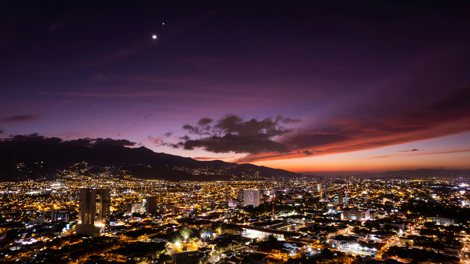
San José city developed as Costa Rica’s political and commercial centre around the coffee economy. Its heritage combines republican buildings, popular markets, parks, railway stations and districts such as Amón, Otoya, Escalante and La California. Beyond the metropolitan core, rural identities are tied to coffee, farming, cattle and community traditions.
Landscape and territory
The province’s north is part of the densely urban Central Valley. To the south, the Escazú hills, Los Santos and the Talamanca Range create cloud forest, highland farms and mountain passes. Beyond Cerro de la Muerte, Pérez Zeledón opens into a warmer valley leading toward the South Pacific.
Climate
Central San José generally has mild days, sunnier mornings and wet-season afternoon rain. Dota and higher areas can be much colder, while Pérez Zeledón is warmer and more humid. Clothing needs vary considerably with elevation.
Getting around
The capital is Costa Rica’s main bus hub and has passenger rail links within the metropolitan area. Dota, Puriscal and Pérez Zeledón require intercity buses or driving. Traffic, construction and rain can turn short map distances into long journeys.