
Planning data
Practical visit facts
- Route or distance
- Open walk along the bay; adapt it to sun and tide.
- Suggested time
- 3–5 hours.
- Admission and booking
- Public access with no general admission.
- Available facilities
- Restaurants, shops and a marina nearby; parking varies.
Distances, hours, access and facilities may change because of weather, maintenance or operating decisions. Always confirm with the official source before leaving.
Content reviewed on July 28, 2026What you will find
- Broad bay with views toward Potrero and North Pacific islands.
- Marina and operators for sailing, diving and sport fishing.
- Services in Flamingo, Potrero and Brasilito.
How to plan the visit
- Get tour inclusions and the exact departure point in writing.
- Bring sun protection; natural shade is limited.
- Check public parking and access before entering private property.
Access and transport
Roads connect Flamingo with Huacas, Brasilito and Potrero. Terrain and local works can change traffic and parking.
Services and infrastructure
Hotels, restaurants, shops and a marina operate nearby, but not all are directly on the beach or publicly accessible.
Season and climate
The dry season is sunny and busy. Green-season afternoons often bring rain, while storms can reduce marine visibility.
Sea, tides and safety
Watch surf, currents and vessels. For diving or fishing, verify credentials, equipment, weather, insurance and emergency procedures.
Sea conditions can change rapidly. Local information, lifeguards, park rangers and official closures always take precedence.Responsible visit
Never feed marine wildlife or touch coral. Choose operators that respect speed, waste and wildlife-distance rules.
Is this beach right for you?
Flamingo suits a beach-and-boating stay with mid-range or upscale services. Beach, marina and town are separate points: verify exactly where each activity starts.
How to understand this destination
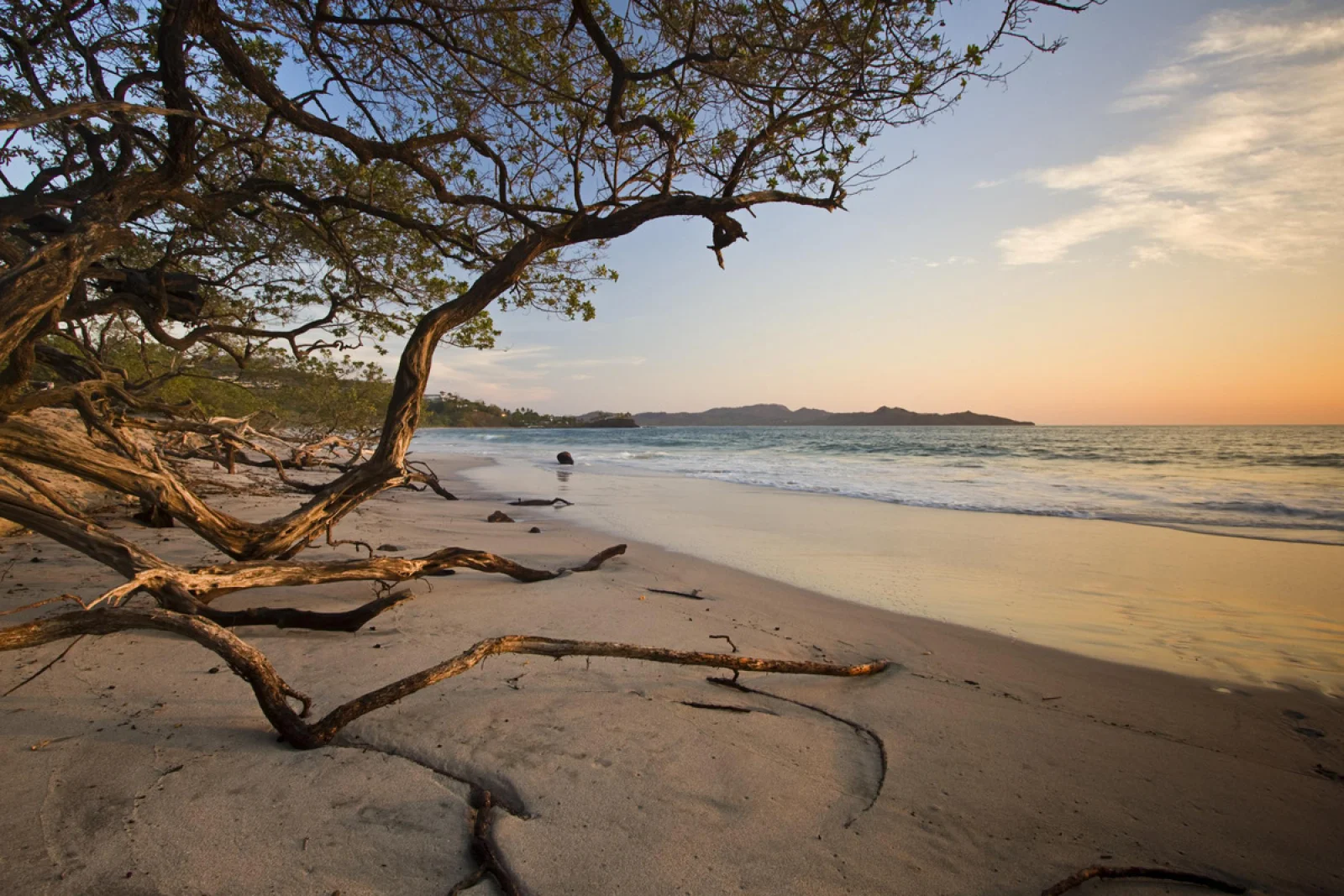
Playa Flamingo—historically also identified as Playa Blanca—is a pale bay below residential hills. The nearby marina changed regional logistics but should not be confused with public beach access.
An open horizon and limited shade make heat a defining factor. For sailing, diving or fishing, wind, port operation and boarding point matter more than how calm the beach appears.
Practical stay plan
- Suggested time
- Allow 1–3 nights for boating or diving; the beach alone fits a half-day within a Potrero–Brasilito route.
- Where to base yourself
- Flamingo favours mid-range and upscale stays. Potrero and Brasilito widen choices and change the atmosphere.
- Getting around
- Beach, marina, hotels and restaurants are not one walkable point. Confirm exact directions before each departure.
- A workable pace
- Marine activities usually leave early; keep the afternoon for beach and sunset rather than rushing a boat schedule.
Sectors and important differences
Bay
Open, sunny and short on shade. Slope, swell and current vary; observe before entering.
Marina
Tours may not leave from the beach. Confirm dock, arrival, parking, equipment, insurance and weather policy.
Potrero and Brasilito
They expand lodging and food, but short visual distance is not always a safe walk.
What to combine nearby
Potrero
A contrasting atmosphere for comparing dining, lodging and a coastline less centred on the marina.
Brasilito and Conchal
A logical separate day. Conchal requires walking and preparation, so it is not a five-minute stop.
Catalina Islands
Diving departures depend on operator and sea state. Ask about credentials, equipment, group limits and cancellation policy.
Mistakes to avoid
- Going to the beach when a tour leaves elsewhere.
- Booking without checking lifejackets, credentials and weather.
- Blocking access or entering private condominiums.
A realistic day
- Morning: marine departure or early beach.
- Midday: food and shade.
- Afternoon: condition-dependent swim and sunset.
Frequently asked questions
Is the marina on the same beach?
It is in the Flamingo area, but beach, marina and departure points should be treated as separate mapped locations.
Is this a budget destination?
The area leans mid-range to upscale. Comparing Potrero or Brasilito broadens the budget without moving far.
Can visitors always swim?
No. Observe surf, currents and vessel traffic, then choose a sector for that day’s conditions.
Official sources and further reading
Editorial verification: Reviewed 2 August 2026. Marine departures depend on wind, swell and operator.