
Planning data
Practical visit facts
- Route or distance
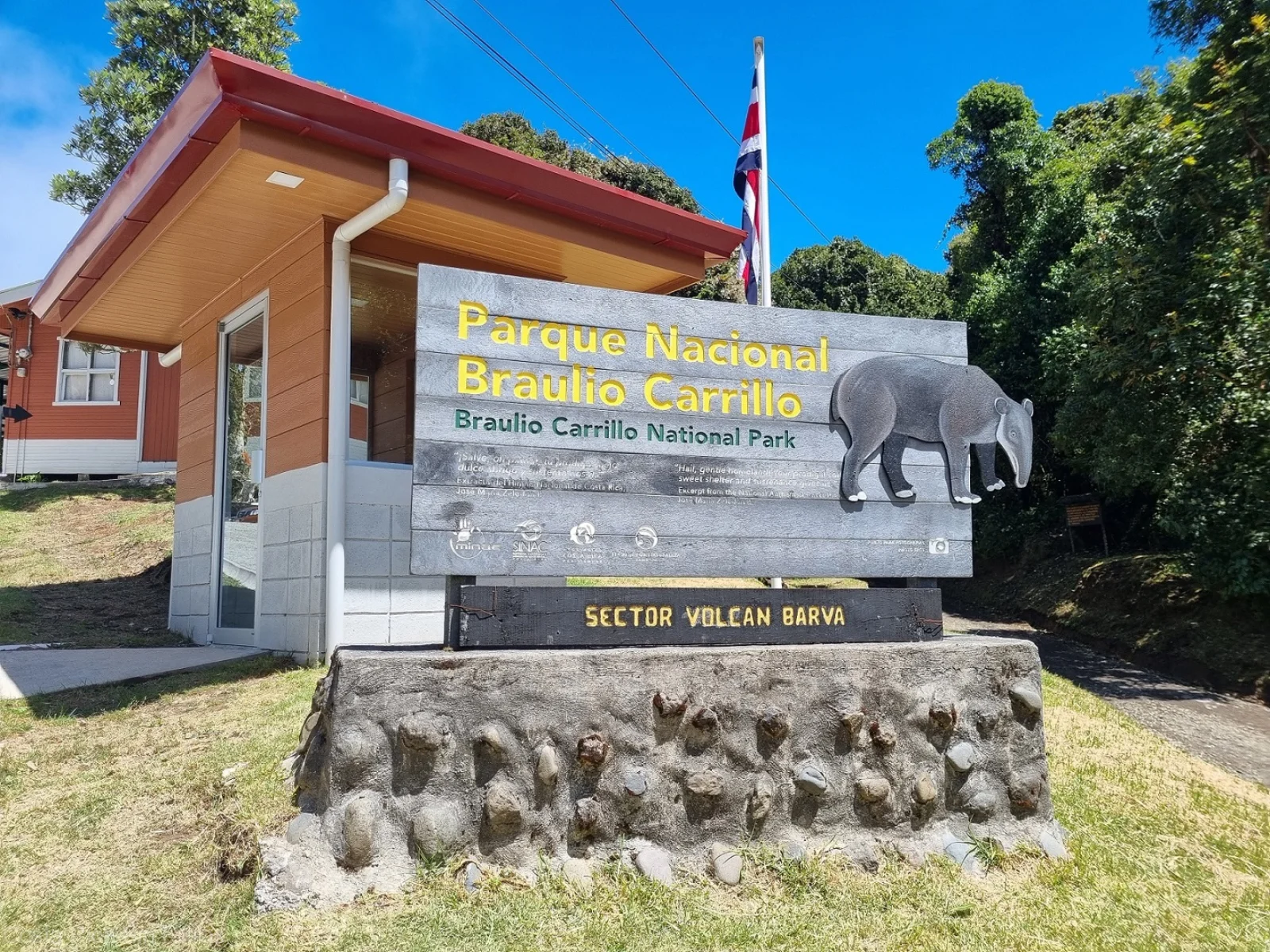
- Routes depend on sector: Quebrada González and Volcán Barva have separate access.
- Suggested time
- 2–4 hours on short loops; a full day for Barva.
- Admission and booking
- Confirm sector, reservation and access status with SINAC.
- Available facilities
- Limited facilities; rain and fog change quickly.
Distances, hours, access and facilities may change because of weather, maintenance or operating decisions. Always confirm with the official source before leaving.
Content reviewed on July 28, 2026What you will find
- Quebrada González and Barva sectors with different access.
- Large elevation gradient and very humid forest.
- Trails for plants, birds and montane scenery.
How to plan the visit
- Choose a sector before departure and confirm opening.
- Check rain, fog and road status.
- Carry rainwear and closed shoes even in dry months.
Access and transport
Quebrada González is reached from Route 32; other sectors use mountain roads. Park only in authorized areas.
Trail and conditions
Rain is frequent, with mud, roots and fog. Weather and routes vary greatly between sectors.
Safety and park rules
Never walk along Route 32 or stop on unsafe shoulders. Respect closures caused by landslides or storms.
On-site signs, staff and official closures always take precedence over this guide.Responsible visit
Remain on trails, reduce noise and remove no epiphytes, ferns or other plants.
How to understand this park
Braulio Carrillo spans a huge gradient from volcanic highlands to Caribbean slopes. Climate, vegetation and difficulty therefore differ sharply between Volcán Barva and Quebrada González.
The park is not the highway crossing it. Public sectors have separate entrances and trails; Ceibo is for research and must not be mistaken for a recreational entrance.
Practical plan
- Recommended time
- Half a day per sector
- Best base
- San José/Heredia for Barva; Guápiles or the Central Valley for Quebrada González
- Getting around
- Car or arranged transport; no internal tourist link joins sectors
- Realistic pace
- Choose Barva or Quebrada González rather than attempting both
Sectors, trails and routes
Quebrada González
Las Palmas 1.5 km · El Ceibo 1 km · Botarrama 2.5 kmHumid Caribbean-slope trails. Botarrama provides the sector’s longer walk.
Volcán Barva
Network totalling about 10 kmCacho Venado, Laguna Barva, Copey and Vara Blanca viewpoint offer highland options with frequent mud and mist.
One sector per day
8:00–15:30 on the consulted pageRoad distance between entrances and differing climates make combining them in a few hours unrealistic.
What to combine nearby
Heredia and Sacramento
Base for Barva; review road, signs and final access conditions.
Guápiles and Sarapiquí
Caribbean and rainforest complements for a separate route from Quebrada González.
Questions before booking
Are Barva and Quebrada González the same entrance?
No. They are separate public sectors with different access routes, elevations and trails.
What temperature should I expect?
SINAC reports an approximate park-wide range of 3–24 °C. Carry layers and rain protection even on a clear valley day.
Can I enter through Ceibo?
Not as an ordinary recreational visit. Official information identifies it as a research sector.
Editorial review: August 2, 2026. Hours, access, booking and closures may change; always reconfirm with SINAC.