
Planning data
Practical visit facts
- Route or distance
- Six sectors: local trails start at 1.5 km and Sirena has networks totalling up to 20 km.
- Suggested time
- Full day or overnight itinerary.
- Admission and booking
- Advance booking required; several routes require a registered guide.
- Available facilities
- Services vary by sector; reserved meals only at Sirena and El Tigre.
Distances, hours, access and facilities may change because of weather, maintenance or operating decisions. Always confirm with the official source before leaving.
Content reviewed on July 28, 2026What you will find
- Sirena, San Pedrillo, La Leona, Los Patos, Los Planes and El Tigre sectors.
- Habitat for tapirs, peccaries, macaws and large cats, with no sighting guarantee.
- Coastal and forest hikes conditioned by rain and tides.
How to plan the visit
- Choose the sector and entry method first.
- Arrange booking and guide according to current official rules.
- Protect equipment and carry suitable water, permitted food and first aid.
Access and transport
Access varies by sector from Puerto Jiménez, Carate, Drake and nearby communities, using coordinated road, boat or hiking transport.
Trail and conditions
The climate is hot, rainy and very humid. Some routes are long, remote and affected by rivers or tides.
Safety and park rules
Never hike alone or improvise crossings. Follow ranger and guide directions; keep away from peccaries, crocodiles, cats and snakes.
On-site signs, staff and official closures always take precedence over this guide.Responsible visit
Do not chase wildlife or leave trails, and carry all waste out. Observation depends on quiet, distance and luck.
How to understand this park
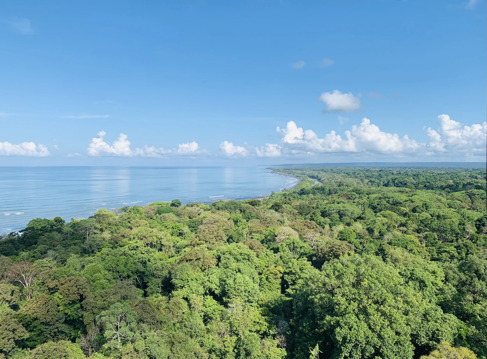
Corcovado is a system of sectors rather than a single entrance. Sirena lies among coast, rivers and forest; San Pedrillo combines primary forest and shore; La Leona, Los Patos, Los Planes and El Tigre differ greatly.
Exceptional biodiversity does not make the park a zoo. Silence, weather, fruit availability and chance shape encounters. The main reason to visit is experiencing remote rainforest under strict rules.
Practical plan
- Recommended time
- 3 to 5 nights on the Osa Peninsula
- Best base
- Drake Bay for marine access to San Pedrillo/Sirena; Puerto Jiménez or Carate for the southeast
- Getting around
- Coordinated boat, 4×4 or hiking access by sector
- Realistic pace
- One carefully chosen sector per day; crossings require specific preparation
Sectors, trails and routes
La Leona–Sirena
16.5 km · about 6–7 hr · guide requiredA long crossing exposed to heat, rain and tides. It should never be improvised from Carate.
Los Patos–Sirena
23 km · about 8–9 hr · guide requiredA demanding inland rainforest route requiring a booking, fitness and a confirmed exit plan.
San Pedrillo or El Tigre
Day visit · local routesSan Pedrillo commonly combines a marine arrival and trails; El Tigre is managed with the community organization identified by SINAC.
What to combine nearby
Drake Bay
Coastal base for boats, small lodges and connections toward San Pedrillo or Sirena.
Puerto Jiménez and Golfo Dulce
Southeastern Osa logistics centre for mangroves, coast and transfers toward Carate.
Questions before booking
Can I arrive without a reservation?
No. SINAC requires advance booking; confirm sector, meals, transport and guide before travelling to Osa.
Is a guide compulsory throughout the park?
Requirements depend on the route. SINAC requires one for crossings such as La Leona–Sirena and Los Patos–Sirena; verify your sector.
Is Sirena an easy outing?
No. Even a boat arrival includes landing, heat, humidity and walking in a remote setting. The station does not remove the need to plan.
Editorial review: August 2, 2026. Hours, access, booking and closures may change; always reconfirm with SINAC.