
Planning data
Practical visit facts
- Route or distance
- The visit combines canals and short trails; water transport is part of the logistics.
- Suggested time
- 1–2 days for a complete experience.
- Admission and booking
- SINAC admission and tours booked separately; check turtle season.
- Available facilities
- Full services in town; more limited facilities inside the protected area.
Distances, hours, access and facilities may change because of weather, maintenance or operating decisions. Always confirm with the official source before leaving.
Content reviewed on July 28, 2026What you will find
- Canal tours by authorized boat, canoe or kayak.
- Humid forest, birds, reptiles and aquatic mammals.
- Sea-turtle nesting under specific rules and seasons.
How to plan the visit
- Buy admission through the official system.
- Arrange a boat from La Pavona, Caño Blanco or another authorized point.
- Use the official programme and authorized local guides for nesting.
Access and transport
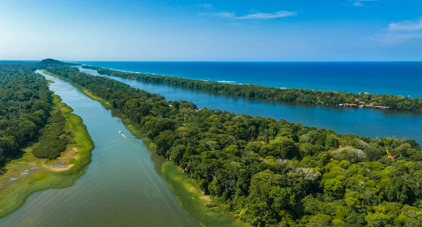
The village is reached by boat or flight. The common route combines road to a dock and navigation; schedules and river level change.
Trail and conditions
This is a very rainy, hot and humid region. Canals, tides and storms affect outings.
Safety and park rules
Wear a life jacket, keep hands inside the boat and never swim in canals or river mouths.
On-site signs, staff and official closures always take precedence over this guide.Responsible visit
Use no light or flash around turtles, maintain distance and never enter nesting beach outside the rules.
How to understand this park
The experience combines an aquatic park with a roadless Caribbean village. It is not simply “seeing canals” from a fast boat: slow travel reveals banks, canopy, creek entrances and vegetation transitions.
The beach is critical nesting habitat. In season, night observation is regulated and the shore is restricted; these rules protect a vulnerable process rather than limiting an optional attraction.
Practical plan
- Recommended time
- 2 to 3 nights
- Best base
- Tortuguero village
- Getting around
- Collective or private boat; walking within the village
- Realistic pace
- Early canals, midday rest and an authorized afternoon or night activity
Sectors, trails and routes
El Jaguar trail
2.5 km · terrestrial routeA land-based forest alternative. Rain and mud greatly change effort, and wildlife remains unpredictable.
Chiquero–Mora and Harold creeks
2.3 km and 3.5 kmNarrow waterways where quiet, a low pace and a craft that meets current rules matter.
Tortuguero River and Caño Palma
4.3 km and 5.1 kmLonger aquatic routes requiring attention to rain, traffic, water level and closing time.
What to combine nearby
Tortuguero village
Conservation, local life and basic services; visit respectfully rather than treating the community as a park exhibit.
Cerro Tortuguero
A separately managed sector with its own hours and coordinated access; confirm availability and transport.
Questions before booking
When do turtles nest?
The best-known period runs approximately June to October, but species and timing vary. Use the authorized programme and never enter independently.
Can I explore without a tour?
You may walk open sectors, but channels require a suitable craft and nesting activities follow specific rules.
Are there split opening hours?
The official page consulted lists 6:00–12:00 and 13:00–16:00 blocks. Reconfirm before travel because operations can change.
Editorial review: August 2, 2026. Hours, access, booking and closures may change; always reconfirm with SINAC.