
Planning data
Practical visit facts
- Route or distance
- Forest trail network; choose a circuit at the entrance based on rain and mobility.
- Suggested time
- 2–4 hours.
- Admission and booking
- Official SINAC admission; confirm the current purchase channel.
- Available facilities
- Basic facilities in the operating sector; carry water.
Distances, hours, access and facilities may change because of weather, maintenance or operating decisions. Always confirm with the official source before leaving.
Content reviewed on July 28, 2026What you will find
- Transition forest with species from both forest systems.
- Excellent birdwatching destination.
- Straightforward Route 34 access and a universal trail.
How to plan the visit
- Buy official admission before arrival.
- Carry binoculars and walk quietly.
- Combine it with nearby destinations without stopping unsafely on the Tárcoles bridge.
Access and transport
The main entrance is about 2 km south of the Grande de Tárcoles River bridge beside Route 34.
Trail and conditions
The climate is hot and humid. Trails vary in length and may bring rain, insects and mud.
Safety and park rules
Never approach crocodiles or stop a vehicle in unauthorized places. Manage heat and hydration.
On-site signs, staff and official closures always take precedence over this guide.Responsible visit
Avoid repeated bird-call playback and never leave trails for photographs.
How to understand this park
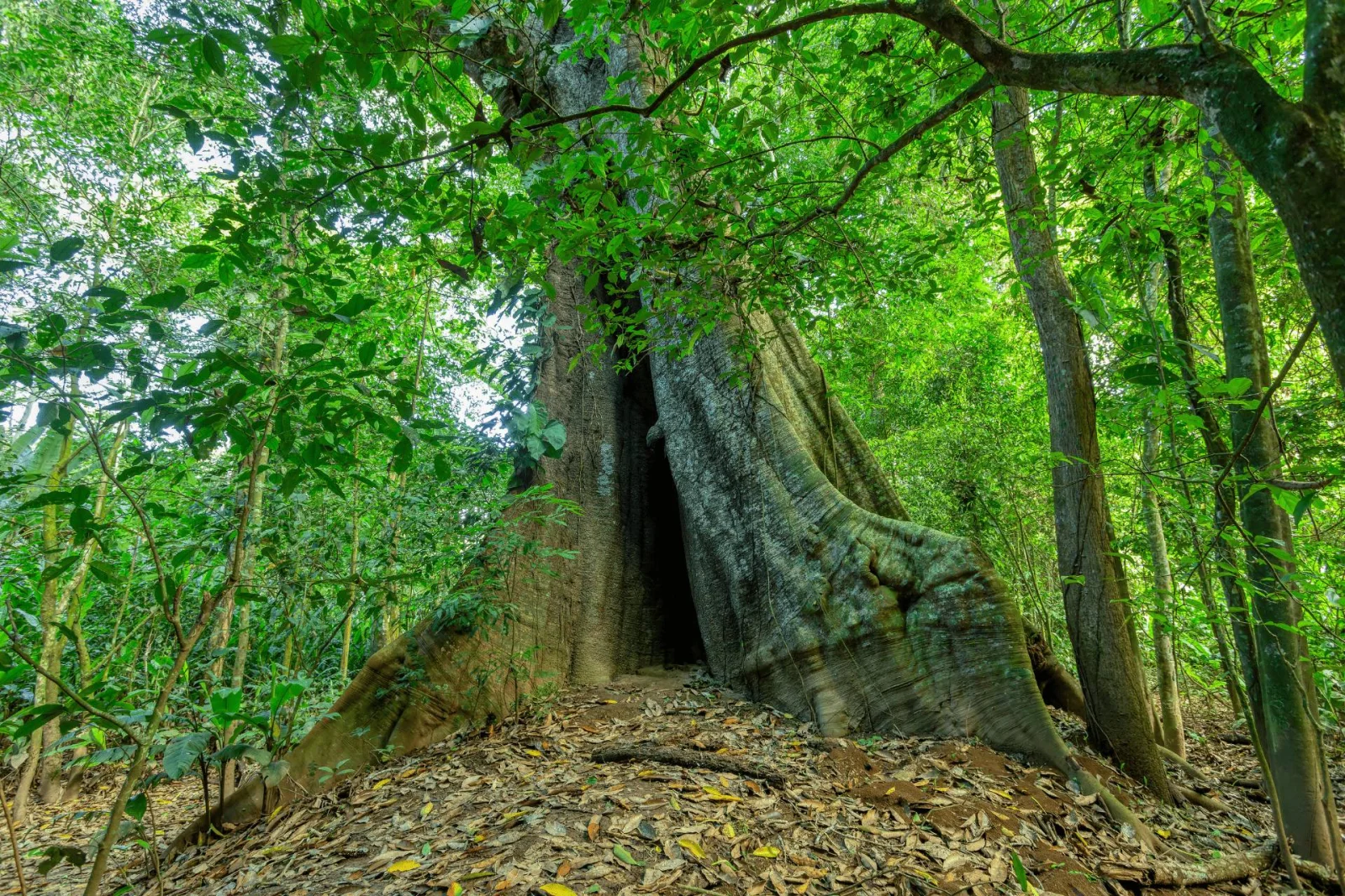
Carara lies in a transition between drier northern environments and wetter southern forest. This mix creates plant and animal communities distinct from a purely rainy forest and supports excellent birding.
It also stands out for access: SINAC identifies it as Costa Rica’s first national park with a universal trail, rest bays and adapted interpretation.
Practical plan
- Recommended time
- One day; 2 nights when combined with Tárcoles
- Best base
- Jacó, Tárcoles, Orotina or the Central Pacific
- Getting around
- Car, carefully planned regional bus or arranged transport
- Realistic pace
- Enter early for heat and birds; choose 1 or 2 trails
Sectors, trails and routes
Universal Trail
1.2 km · 9 rest baysAn interpretive route with accessible infrastructure, adapted services and braille elements. Confirm conditions for specific support needs.
Las Aráceas and Quebrada Bonita
1.2 km / ~1 hr and 1.3 km / ~1.5 hrTwo forest options for a half-day visit; humidity and roots call for grippy footwear.
Laguna Meándrica
Over 2 km · approximately 2–4 hrThe longest option on the official page; time varies with observation, mud and sector conditions.
What to combine nearby
Tárcoles River
Observe from safe public spaces or formal operators; never descend to the channel or feed crocodiles.
Central Pacific
Jacó, Herradura and nearby beaches pair transition forest with coast on separate days.
Questions before booking
Can I buy admission at the gate?
SINAC directs visitors to its online system. Buy before travelling and retain the confirmation.
Is it suitable for reduced mobility?
The Universal Trail was designed for access, but confirm temporary conditions and individual support needs with the park.
Where is the entrance?
The official page locates it roughly 2 km south of the Tárcoles River bridge on the Central Pacific route.
Editorial review: August 2, 2026. Hours, access, booking and closures may change; always reconfirm with SINAC.