
Planning data
Practical visit facts
- Route or distance
- San Gerardo–Base Crestones: 14.5 km; Base–summit: 5.1 km more.
- Suggested time
- At least 2 days; 3 days provide better margin.
- Admission and booking
- Advance booking required for entry and lodge.
- Available facilities
- Water, toilets, food and lodging concessions at defined points.
Distances, hours, access and facilities may change because of weather, maintenance or operating decisions. Always confirm with the official source before leaving.
Content reviewed on July 28, 2026What you will find
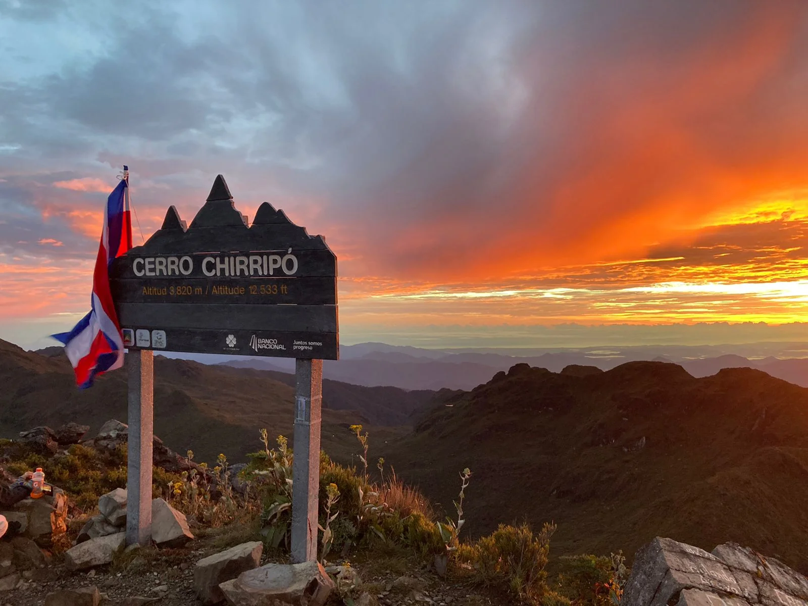
- Chirripó summit, Crestones and glacial valleys.
- Rapid transition from forest to páramo and large temperature changes.
- Trail network with high and extreme difficulty.
How to plan the visit
- Reserve admission, lodging and services only through authorized mechanisms.
- Train beforehand and prepare for cold and rain.
- Allow schedule margin and check closures or emergencies.
Access and transport
The best-known access starts at San Gerardo de Rivas in Pérez Zeledón. Other authorized trails have different logistics.
Trail and conditions
Expect major elevation, cold, radiation, wind and rapid weather change. Altitude can affect trained visitors.
Safety and park rules
Never underestimate distance or height. Report symptoms, follow rangers and stop in storms or altitude illness.
On-site signs, staff and official closures always take precedence over this guide.Responsible visit
Use authorized trails, carry waste out and protect fragile páramo vegetation.
How to understand this park
Chirripó protects far more than Costa Rica’s highest summit. The route crosses montane forest and páramo, with shifts in temperature, radiation, wind and vegetation central to the experience.
Park admission and lodging at Base Crestones are related but separate arrangements. Lodge capacity is limited, and improvisation can remove an essential itinerary component.
Practical plan
- Recommended time
- 3 to 5 days including arrival and recovery
- Best base
- San Gerardo de Rivas for the main route
- Getting around
- Transport to San Gerardo; authorized routes are on foot
- Realistic pace
- Prior acclimatization, pre-dawn start and margin for highland weather
Sectors, trails and routes
San Gerardo–Base Crestones
Main ascent · long dayThe route gains substantial elevation and rewards conservative pacing from the first kilometres. Pack weight and departure time matter as much as distance.
High-mountain internal network
Trails from 3.1 to 25 km according to SINACValle de los Conejos, lakes and summits require realistic objectives from the base rather than attempting everything.
Authorized alternative routes
San Jerónimo/Sabana Leones and Herradura–UránThese are not spontaneous shortcuts: each has separate management, difficulty and logistics.
What to combine nearby
San Gerardo de Rivas
Base for sleep, meals, packing and community projects before or after the ascent.
El General valley
A recovery night at lower elevation helps avoid driving exhausted immediately after descending.
Questions before booking
Can I climb without a reservation?
No. Admission is booked online and administrative registration occurs during official hours before entry.
How cold does it get?
SINAC notes temperatures near 0 °C at higher elevations and more extreme episodes. Wind, moisture and fatigue intensify cold.
Does Base Crestones always have room?
No. Reported capacity is 60 guests per night and separate booking is required; secure lodging before transport.
Editorial review: August 2, 2026. Hours, access, booking and closures may change; always reconfirm with SINAC.