
Planning data
Practical visit facts
- Route or distance
- Signed circuit linking five waterfalls and gardens; choose sections to match your energy.
- Suggested time
- 3–5 hours.
- Admission and booking
- Private attraction; purchase directly from management.
- Available facilities
- Broad toilet, food and parking facilities.
Distances, hours, access and facilities may change because of weather, maintenance or operating decisions. Always confirm with the official source before leaving.
Content reviewed on July 28, 2026What you will find
- Five-waterfall circuit with platforms and trails.
- Cloud forest and gardens on private property.
- Location between the Central Valley, Poás and Northern Zone.
How to plan the visit
- Check admission, hours and ticket policy on the official website.
- Allow several hours to explore the full complex.
- Carry rainwear and closed shoes even if the day starts clear.
Access and transport
Mountain roads approach from Heredia, Alajuela, Poás or San Miguel de Sarapiquí. Fog can sharply reduce visibility.
Trail and conditions
Trails include stairs and persistent moisture. Some visits follow a one-way route with return transport, depending on current operations.
Water and safety
Do not park or walk along the road to photograph the external waterfall. Inside, respect railings and wet surfaces.
On-site signs, staff and official closures always take precedence over this guide.Responsible visit
Do not feed or touch wildlife and assess animal interactions critically. Maintain distance and follow site rules.
How to understand this waterfall
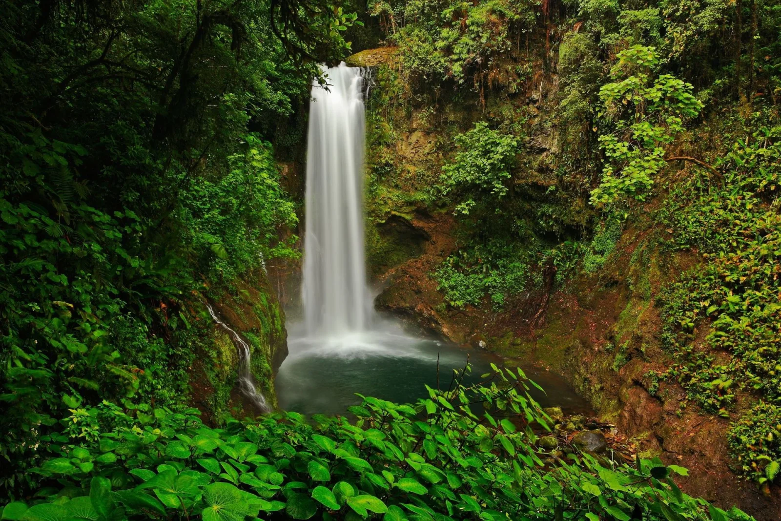
The experience links five waterfalls in a cloud-forest corridor. Its value lies in seeing one river change with slope, rock and vegetation rather than merely reaching the final drop.
The complex includes gardens and managed wildlife exhibits. Distinguish wild animals encountered in forest from those in the property’s enclosures or programmes.
Practical plan
- Recommended time
- 3 to 5 hours
- Best base
- Vara Blanca, Alajuela or the Sarapiquí route
- Actual effort
- Moderate: developed trails, moisture and many stairs
- Swimming
- This is not a swimming visit
Step-by-step route
Forest and early falls
Developed trail · frequent rainBegin slowly: humidity, photography and stairs make the circuit longer than expected.
Five-waterfall sequence
Mostly descending routeCompare width, height, rock and sound from each viewpoint. Remain behind barriers and keep platforms clear.
Exit and transport
Return operation variesSome circuits finish away from the main building and use internal transport. Confirm the process before starting.
What to combine nearby
Vara Blanca and Poás
Highland weather changes quickly. A volcano combination needs separate booking and margin for mist or closures.
Sarapiquí
The Caribbean descent continues toward humid forest on another day, avoiding night driving in rain.
Questions before leaving
Are there five distinct waterfalls?
Yes. The circuit presents a sequence of drops within the same forest-and-river setting, each with separate viewpoints.
Can I visit only one?
Operations are designed as a circuit. Check current formats for limited time or mobility needs.
Is it the same as the roadside La Paz Waterfall?
The private complex and public roadside view differ in experience, services and parking conditions.
Editorial review: August 3, 2026. Opening, flow, access and swimming areas may change; reconfirm with the responsible operator.