
Planning data
Practical visit facts
- Route or distance
- Short route from a private entrance, with wet rocks beside the river.
- Suggested time
- 1–2 hours.
- Admission and booking
- Local paid admission; confirm hours at the entrance.
- Available facilities
- Basic services and nearby shops in Uvita.
Distances, hours, access and facilities may change because of weather, maintenance or operating decisions. Always confirm with the official source before leaving.
Content reviewed on July 28, 2026What you will find
- Tropical setting close to Uvita.
- Shorter approach than many mountain waterfalls.
- Easy to pair with South Pacific beaches and activities.
How to plan the visit
- Confirm which entrance operates and what admission includes.
- Arrive early and avoid storm hours.
- Wear shoes for wet stone and protect electronics.
Access and transport
It lies inland from Uvita, with several locally known entrances. Use identified parking and do not obstruct residential roads.
Trail and conditions
Flow changes quickly with South Pacific rain. Pools, stones and short side routes can become slippery.
Water and safety
Do not use rock as a slide or jump without authorization and professional assessment. Leave the water if it rains upstream or river colour changes.
On-site signs, staff and official closures always take precedence over this guide.Responsible visit
Respect neighbouring communities, use authorized services and carry all waste out.
How to understand this waterfall
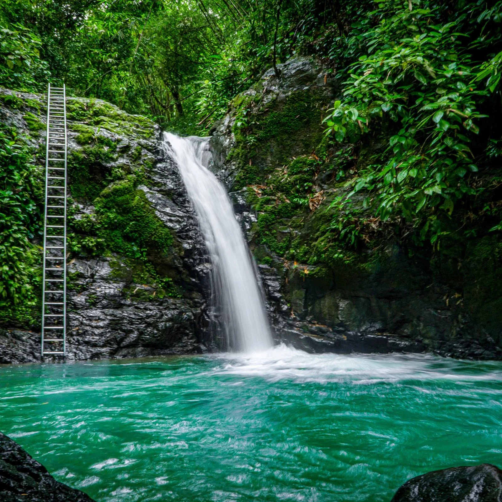
This compact local visit is separate from Marino Ballena National Park. Its value lies in forest, river and a pool near Uvita rather than competing with high mountain waterfalls.
The sloping rock some people use as a slide changes with flow, moss and sediment. Appearing in videos does not make an action authorized or safe.
Practical plan
- Recommended time
- 1 to 2 hours
- Best base
- Uvita
- Actual effort
- Low to moderate: short access and wet rock
- Swimming
- Subject to flow and property rules
Step-by-step route
Private entrance
Short access · independent operationConfirm active entrance, hours, payment and parking. Not every sign necessarily leads to the same property.
Main pool
Variable depthAssess current, exit point and other swimmers before entering. Leave if water becomes cloudy or rises.
Rock and side paths
Polished slippery surfaceRemain in authorized areas. Avoid slides, jumps or edges without explicit staff direction.
What to combine nearby
Uvita and Marino Ballena
Tides define the national-park visit; combine both without sacrificing the tombolo’s safe window.
Dominical and Ojochal
Beaches and food extend a South Pacific stay without adding extreme travel.
Questions before leaving
Is it part of Marino Ballena?
No. It is an independent inland access with different management, payment and risks.
Can the rock be used as a slide?
Only under explicit staff authorization and safe conditions. The conservative recommendation is not to do it.
How much does rain change it?
Substantially. The South Pacific watershed responds quickly, increasing flow, turbidity and slip risk.
Editorial review: August 3, 2026. Opening, flow, access and swimming areas may change; reconfirm with the responsible operator.