
Planning data
Practical visit facts
- Route or distance
- Short walk, but access condition and opening status can change.
- Suggested time
- 1–2 hours.
- Admission and booking
- Confirm current opening and management on the day.
- Available facilities
- Limited infrastructure; carry water and do not rely on lifeguards.
Distances, hours, access and facilities may change because of weather, maintenance or operating decisions. Always confirm with the official source before leaving.
Content reviewed on July 28, 2026What you will find
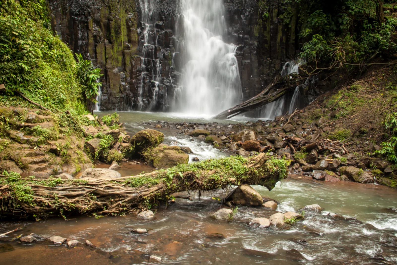
- Two waterfalls in a green corridor close to the Central Valley.
- Forest, springs and rock walls.
- Potential short trip from Grecia or Alajuela when officially open.
How to plan the visit
- Ask Grecia Municipality first about current opening and access.
- Do not rely only on maps or old reviews.
- Cancel if no formal, safe entrance is available.
Access and transport
The park is in Tacares. Historic approaches are not always open, and mapping apps may indicate routes across private or unsafe terrain.
Trail and conditions
Expect slopes, mud and wet stone. Floods or infrastructure damage can produce prolonged closures.
Water and safety
Do not enter through closed gates, shortcuts or river channels. Avoid walls, pools and trails in heavy rain or when municipal risks are reported.
On-site signs, staff and official closures always take precedence over this guide.Responsible visit
Respect closures and property, leave no waste and do not damage springs or park vegetation.
How to understand this waterfall
Los Chorros includes two main falls in a secondary-forest recreation setting. The experience depends as much on infrastructure and trail condition as on water.
Closures have occurred because of damage, floods or management. An old post or open map is not confirmation of current access.
Practical plan
- Recommended time
- 1 to 2 hours when open
- Best base
- Grecia, Tacares or Alajuela
- Actual effort
- Moderate: slope, wet stone and possible mud
- Swimming
- Only when management and flow allow
Step-by-step route
Pre-trip verification
Mandatory stepCheck with Grecia Municipality or current management. Do not travel based only on visitor reviews.
Forest descent
Slope and moistureWear grippy shoes and save energy for the climb. Barriers and detours reflect stability, not convenience.
Two falls and channel
Independent conditionsView each sector from authorized areas; a calm pool does not make the other channel safe.
What to combine nearby
Grecia
Town architecture and services offer an alternative if the park is closed.
Sarchí and western Central Valley
Craft, coffee and landscape create an itinerary that does not depend entirely on waterfall access.
Questions before leaving
Is it currently open?
Confirm directly before every visit. Access has faced closures and changes; never assume.
Are there two waterfalls?
Yes, the name refers to two main falls, although open sectors can vary.
Is the trail easy?
It is relatively short, but slope, mud and wet stone can increase difficulty.
Editorial review: August 3, 2026. Opening, flow, access and swimming areas may change; reconfirm with the responsible operator.