
Planning data
Practical visit facts
- Route or distance
- Short access from the entrance area, with steps and natural ground.
- Suggested time
- 1.5–3 hours.
- Admission and booking
- Confirm current management, fee and hours before travelling.
- Available facilities
- Basic facilities; do not rely on full food service.
Distances, hours, access and facilities may change because of weather, maintenance or operating decisions. Always confirm with the official source before leaving.
Content reviewed on July 28, 2026What you will find
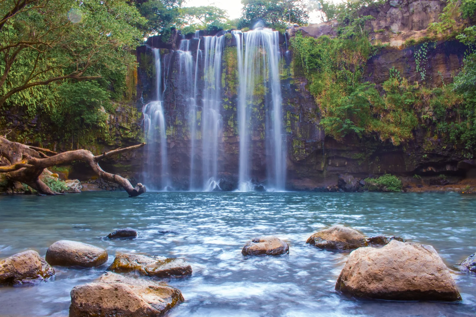
- Wide water curtain over a rock wall.
- Relatively short route from the entrance area.
- Convenient location for a Guanacaste stop.
How to plan the visit
- Confirm opening, admission contribution and road condition locally.
- Arrive early to avoid heat and larger crowds.
- Carry backup cash, water and footwear with grip.
Access and transport
It is near Bagaces and the Inter-American Highway. The final road, parking and management arrangements can change, so verify before detouring.
Trail and conditions
Water can become low in the dry season or rise quickly after rain. Expect sand, rocks and short slopes.
Water and safety
Do not stand under the fall in strong flow, climb the wall or enter without assessing pool depth.
On-site signs, staff and official closures always take precedence over this guide.Responsible visit
Leave no rubbish, use no soap in the river and respect hours, parking areas and community staff.
How to understand this waterfall
The broad wall creates a water curtain unlike narrow mountain drops. Dry months reveal rock and separated streams; rain adds volume and changes the pool.
Proximity to the Inter-American Highway makes it seem automatic, but this remains a natural river. Upstream rain can alter conditions even when Bagaces is dry.
Practical plan
- Recommended time
- 1 to 2 hours
- Best base
- Bagaces or Liberia
- Actual effort
- Low to moderate: short access with sand, rock and slope
- Swimming
- Subject to flow, depth and local rules
Step-by-step route
Access and descent
Short route · variable surfaceConfirm management, contribution, parking and final-road condition before leaving the main highway.
Waterfall front
Sand and panoramic viewThe shore offers the clearest view of the full curtain. There is no need to stand underneath or climb the wall.
Pools and channel
Variable depth and currentEnter only when permitted and never rely on photographs from another season. Leave immediately if colour or level changes.
What to combine nearby
Bagaces
Basic services and links toward Palo Verde, Miravalles and Liberia.
Liberia and the Guanacaste range
Use the waterfall within a reasonable route rather than between two distant activities.
Questions before leaving
Does it look the same year-round?
No. Dry months reduce flow; rains broaden the curtain and may make pool or access unsafe.
Is it suitable for children?
Access is fairly short, but water, rock and uneven depth require constant supervision.
Are entry arrangements always the same?
No. Management, contribution and access have changed; confirm locally before departure.
Editorial review: August 3, 2026. Opening, flow, access and swimming areas may change; reconfirm with the responsible operator.