
Planning data
Practical visit facts
- Route or distance
- Visit by beach sectors; there is no single official circuit.
- Suggested time
- 3–5 hours.
- Admission and booking
- Public access; tours and equipment are separate.
- Available facilities
- Small, scattered services; carry water and backup cash.
Distances, hours, access and facilities may change because of weather, maintenance or operating decisions. Always confirm with the official source before leaving.
Content reviewed on July 28, 2026What you will find
- Forest reaching directly to the shore.
- Kayaking or snorkelling only in calm seas with responsible operators.
- Proximity to Puerto Viejo, Manzanillo and Gandoca-Manzanillo refuge.
How to plan the visit
- Check surf, wind and rain before renting a kayak or equipment.
- Never park across public access or private property.
- Spend with local businesses and respect the residential setting.
Access and transport
The coastal road connects Puerto Viejo, Punta Uva and Manzanillo. Buses and bicycles are options, but road visibility and rain require care.
Services and infrastructure
Lodging and food are scattered; not every access has toilets, lifeguards or parking. Carry essentials without bringing excess.
Season and climate
The Caribbean has no defined dry season. February–March and September–October tend to be relatively drier, but rain is possible in any month.
Sea, tides and safety
The Caribbean can shift from calm to dangerous. Avoid reefs in swell, supervise children and stay out during storms.
Sea conditions can change rapidly. Local information, lifeguards, park rangers and official closures always take precedence.Responsible visit
Never stand on coral, feed sloths or monkeys, or remove sand, shells or animals. Use marine-conscious sun protection.
Is this beach right for you?
Punta Uva is for a relaxed day, not activity collecting. Choose one bay and decide on kayak or snorkel only after observing wind, rain and swell.
How to understand this destination
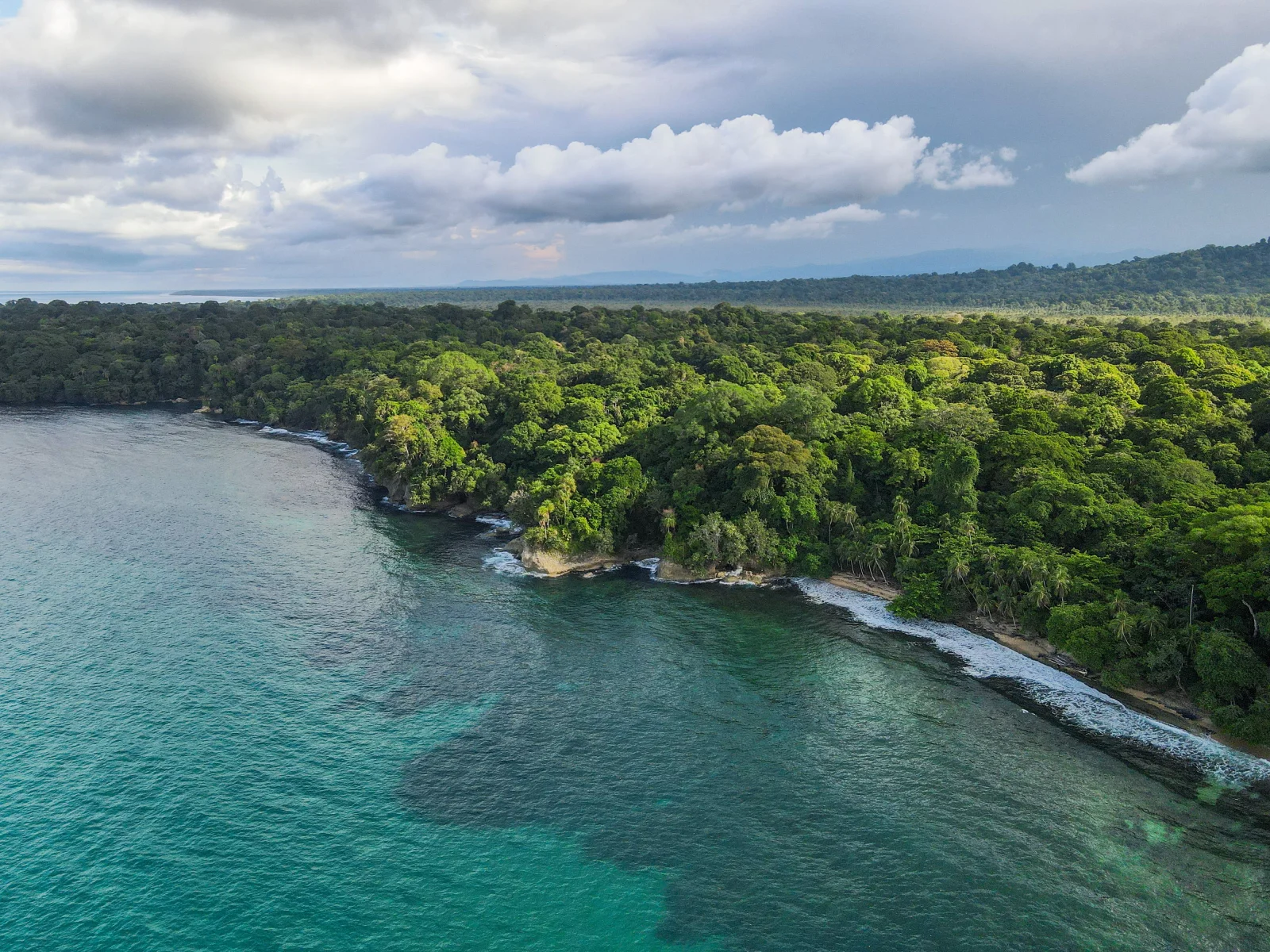
Punta Uva is a broad sandy projection toward a headland, visually linking the corridor between Playa Chiquita and Manzanillo. Its small bays do not share identical swell exposure.
Forest reaches close to the water, bringing shade, roots and wildlife. That proximity makes food control, clear access and responsible wildlife distance important.
Practical stay plan
- Suggested time
- Allow a half or full day; 3–5 nights in the southern Caribbean provide time to wait for better seas and explore without rushing.
- Where to base yourself
- Puerto Viejo has more services; Punta Uva is quieter; Manzanillo sits nearer the refuge. Choose by atmosphere, not distance alone.
- Getting around
- Bus, bicycle, taxi or vehicle cover the corridor. At night or in rain, low lighting makes cycling less suitable.
- A workable pace
- Observe the sea early, choose one water activity and keep the afternoon for coast, food or a daylight return.
Sectors and important differences
Bay
It may look sheltered, but visual calm does not remove currents or replace supervision.
Headland
Wet rock and swell increase risk; never jump or walk on reef.
Coastal corridor
Bicycle and bus help, but rain, potholes and low lighting demand visibility.
What to combine nearby
Playa Chiquita
Small entrances and reef conditions change with the sea. Do not assume the entire coast is walkable at every tide.
Manzanillo and the refuge
Scenery and trails extend the day, but remote access must be confirmed locally and not improvised during storms.
Puerto Viejo
The transport, dining and nightlife base. Separate social plans from cycling home on a dark road.
Mistakes to avoid
- Renting a kayak without lifejacket or wind check.
- Blocking access while parking.
- Touching reef or feeding wildlife.
A realistic day
- Morning: choose a bay according to sea state.
- Midday: local food and shade.
- Afternoon: land-based walk; no water activity in storms.
Frequently asked questions
Is Punta Uva always calm?
No. Caribbean conditions change quickly and each bay responds differently to wind, swell and rain.
Is it good for kayaking?
It can be with settled water, lifejacket, suitable equipment and a clear route. Do not launch if wind or storms threaten the return.
Can it be reached by bus?
The coastal corridor has service, but confirm schedules and expect a walk from the stop to the chosen entrance.
Official sources and further reading
Editorial verification: Reviewed 2 August 2026. Confirm southern Caribbean sea and road conditions on the day.