
Planning data
Practical visit facts
- Route or distance
- Long urban beach; distance depends on access point and tide.
- Suggested time
- Half or full day.
- Admission and booking
- Public access; there is no general beach admission.
- Available facilities
- Broad choice in town; confirm toilets, showers and parking with each business.
Distances, hours, access and facilities may change because of weather, maintenance or operating decisions. Always confirm with the official source before leaving.
Content reviewed on July 28, 2026What you will find
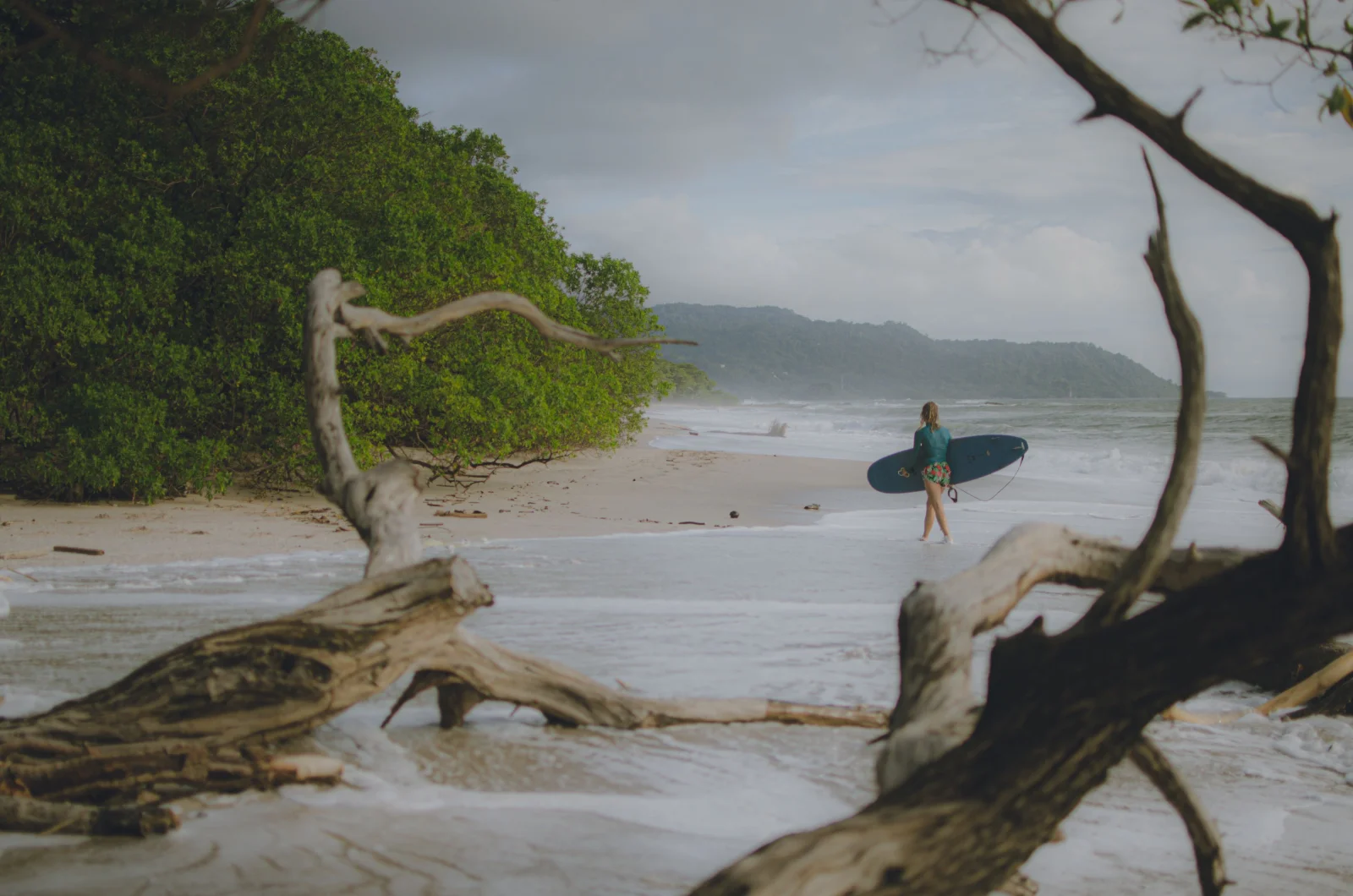
- Waves and surf schools for different levels, depending on sector and conditions.
- Extensive accommodation, dining, supermarkets and tour services.
- Tamarindo estuary and proximity to Las Baulas National Marine Park.
How to plan the visit
- Arrive early on weekends or in high season.
- Choose an identifiable surf school and ask about currents, level and insurance.
- Use authorized operators for the estuary; never attempt to swim across it.
Access and transport
Road access is available from Santa Cruz, Huacas or Villareal. Liberia airport is convenient for Guanacaste. Street parking is limited and should never be used for storing luggage.
Services and infrastructure
This is one of Costa Rica’s best-served beach towns. Infrastructure thins outside the centre and not every access has showers, toilets or supervision.
Season and climate
December through April is generally dry and busy. May through November brings greener scenery and common afternoon downpours.
Sea, tides and safety
Currents and surf vary with tide and sector. Do not swim near the river mouth, follow lifeguard advice where available and never leave belongings unattended.
Sea conditions can change rapidly. Local information, lifeguards, park rangers and official closures always take precedence.Responsible visit
The estuary and nearby beaches are sensitive habitat, including turtle nesting areas. Do not drive on sand, use lights near nests or join unauthorized nesting tours.
Is this beach right for you?
Choose Tamarindo for surfing, restaurants, shopping and excursions from one base—not for isolation. This is a busy, active beach town.
How to understand this destination
Tamarindo is not one uniform strip. The centre holds most surf schools and activity; rocks and the transition to Langosta appear southward; the estuary forms a natural northern limit that must not be crossed by swimming.
The destination’s real contrast is between the tourism town and the protected Las Baulas system. The park protects Grande, Ventanas and Langosta beaches plus estuary and mangrove habitat, combining convenience with rules that matter.
Practical stay plan
- Suggested time
- Allow 2–4 nights for beach, surf and excursions; one day only covers the central strip.
- Where to base yourself
- The centre is walkable for dining and shops. Langosta feels more residential, while Playa Grande sits across the estuary.
- Getting around
- The centre is walkable, but heat, limited shade and distances to Langosta or nearby beaches make identifiable transport useful.
- A workable pace
- Surf or walk early, pause at midday, then choose the estuary or sunset. Never improvise a swim across to Playa Grande.
Sectors and important differences
Town and surf
Schools and services cluster here. A responsible lesson matches board, zone and time to ability, tide and daily surf.
Estuary
The river mouth separates Tamarindo from Playa Grande. Never swim across; use authorised boats and guides.
Toward Langosta
Rocks, channels and different breaks appear. The long shore does not offer equal swimming conditions.
What to combine nearby
Playa Grande and Las Baulas
Reach them by road or authorised activity. The park lists nesting-season restrictions and currently states that turtle observation is not offered.
Playa Langosta
A logical southward outing in daylight, with rocks and river mouths to assess rather than assuming central Tamarindo swimming conditions.
Brasilito and Conchal
Treat them as a separate full day because transport, parking and the walk to Conchal take their own time.
Mistakes to avoid
- Swimming across the estuary.
- Booking surf without asking about level, group ratio and conditions.
- Leaving luggage in a car or belongings unattended.
A realistic day
- Morning: guided surf or recommended swimming sector.
- Midday: shade, rest and food.
- Afternoon: authorised estuary trip or sunset walk.
Frequently asked questions
Does Tamarindo work without a car?
Yes when staying centrally for beach, surf and restaurants. Other beaches require bus, taxi, arranged transfer or a vehicle.
Is it a calm swimming beach?
That cannot be guaranteed. Surf, tide, currents and the river mouth differ by sector; ask locally and follow lifeguards where present.
Stay overnight or visit for the day?
Stay if services and social activity matter. Compare quieter bases if silence and a less urban coast are the priority.
Official sources and further reading
Editorial verification: Reviewed 2 August 2026. Confirm tides, surf and Las Baulas rules on the day.