
History and context
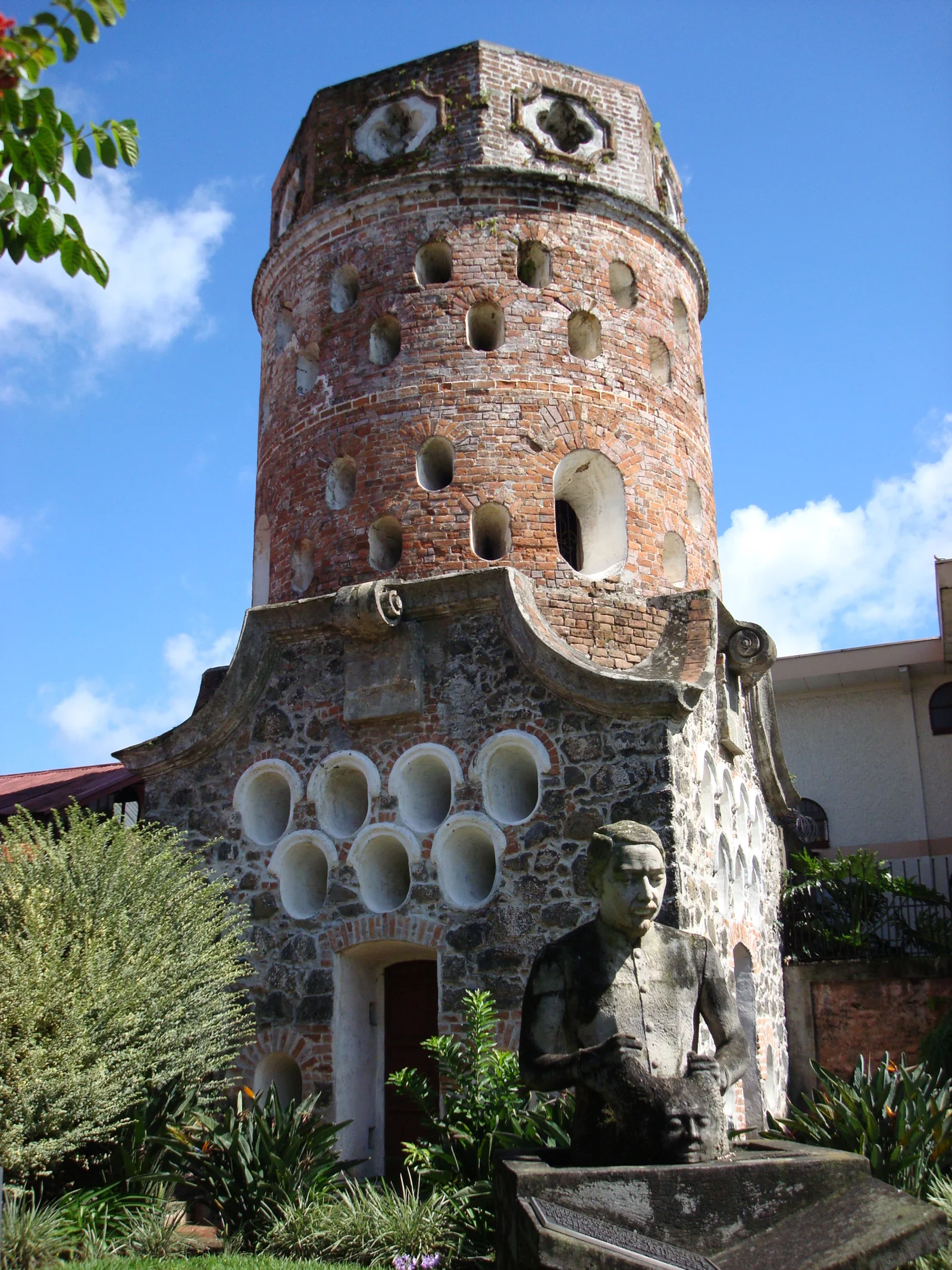
Fadrique Gutiérrez, Heredia’s military commander and governor, designed and built the tower in 1876. It rises about 13 metres and used approximately 2,500 bricks made in Cartago. Plans included additional towers and barracks, but cost ended the project; even an 1882 demolition order was never carried out.
Why this place matters
The Fortín is a rare piece of Costa Rican military architecture and a symbol of Heredia’s identity. Its story reveals political decisions, financial constraints and the way a structure separated from its intended complex can be adopted by a city’s collective memory.
What to notice during your visit
- The tower’s vertical geometry and defensive openings.
- Visible brick construction, unusual among Costa Rican military monuments.
- The compact scale of a structure designed as one piece of a larger system.
- Its walkable relationship with the park, church and other historic central buildings.
How to plan your visit
- Include the Fortín in a walking route through downtown Heredia.
- View the tower from several angles without entering the road or blocking traffic.
- Do not assume interior access; this is primarily an exterior visit.
- Carry a brief historical reference to recognize details easily missed during a quick stop.
Access and location
The tower is in central Heredia near the main park, bus stops and train station. Public transport and walking are usually easier than finding immediate parking.
Conservation and responsible visits
Do not lean objects against the tower, attach notices or attempt to enter through openings. Remain in safe pedestrian areas when taking photographs and avoid causing wear.
Keys to interpreting the site
Why did an incomplete tower come to represent an entire city?
Failed military project
The Fort was intended as part of a larger complex. Its isolation reveals budget, political decisions and unfinished public works.
Brick and design
Form, loopholes, stairs and material help distinguish defensive intent, architectural experiment and functional problems.
Heredia symbol
Its value does not depend on combat use: later civic adoption turned the tower into an urban emblem.
Suggested visit sequence
- 01
View the full silhouette from across the street without stepping into traffic.
- 02
Walk the perimeter, identifying levels, openings and material changes.
- 03
Connect the Fort with the central park, church and nearby public buildings.
How to combine this visit
Treat it as a short stop on a downtown Heredia walk, with the Museum of Popular Culture as a separate visit.