
History and context
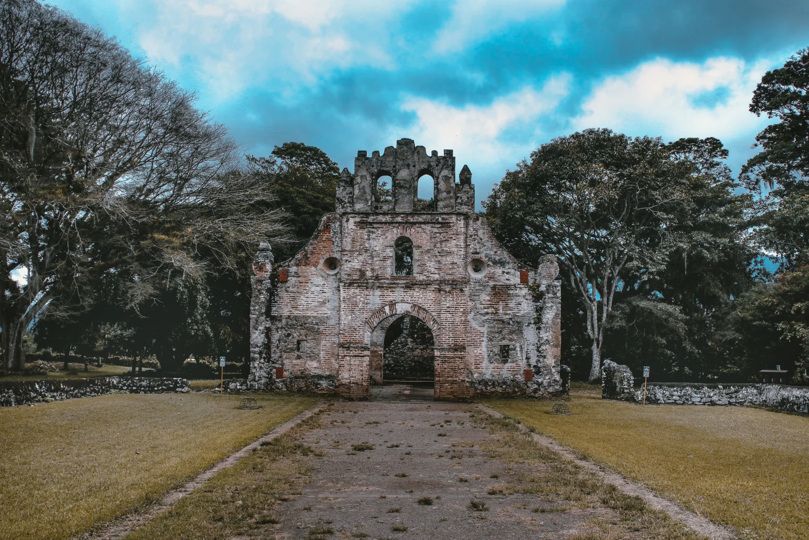
The heritage declaration associates the Church of the Immaculate Conception of Ujarrás with the colonial period and work promoted under Governor Gómez de Lara in the second half of the seventeenth century. After the population was relocated, the building remained the clearest surviving trace of the former town.
Why this place matters
The site brings together architectural heritage, the memory of a displaced community and religious devotion. Its fabric reveals colonial lime, stone and masonry techniques, while the setting helps explain changes caused by flooding, illness, migration and new regional routes.
What to notice during your visit
- Masonry arches and walls defining the nave of the former church.
- Views connecting the ruins, gardens and mountains of the valley.
- The memory of the former town of Ujarrás and its religious practices.
- Recent park improvements intended to support family visits and accessibility.
How to plan your visit
- Visit early for cooler conditions, quieter gardens and clearer views of the architecture.
- Combine the stop with Orosi, Cachí or nearby viewpoints, but give the ruins enough time.
- Check current rules for gardens, picnic areas and parking.
- Never climb the walls or place objects on the historic masonry.
Access and location
The park is in Ujarrás, Paraíso, reached through the Orosi and Ujarrás valley road network. Several road sections are winding, so drive carefully in rain or fog.
Conservation and responsible visits
The ruin is not recreational furniture: do not climb walls or move stones, and keep food and play away from the structure. Leave the garden clean and respect ceremonies or devotional visitors.
Keys to interpreting the site
How does a community remain in the landscape after relocation?
Church and former town
The ruins were not isolated: they formed the religious centre of a settlement whose roads, homes and fields occupied the valley.
Colonial materials
Stone, lime and masonry reveal techniques and repairs as well as deterioration from climate, vegetation and time.
Devotion and displacement
The story joins religious continuity with floods, illness and relocation; it should not be reduced to a picturesque ruin.
Suggested visit sequence
- 01
First view the structure from the garden to understand volume, valley and orientation.
- 02
Approach walls and openings without touching, identifying additions, losses and techniques.
- 03
Relate the site to present-day Paraíso and the Ujarrás basilica.
How to combine this visit
Pair it with Orosi, the Ujarrás viewpoint and Cartago heritage while giving each church its own time.