
Route facts
- Distance
- 3.5 km from a common parking area to the refuge; internal trails vary
- Estimated time
- 4–7 hr including approach and internal trail
- Elevation
- Cloud forest on the Braulio Carrillo foothills
- Difficulty
- Moderate–high due to mud and uneven terrain
The reserve's directions place one common parking area approximately 3.5 km from the refuge. Total walking distance changes depending on where the vehicle stops and which internal trail management authorizes. Do not confuse the roughly 20 km road approach from UNA with the distance walked inside the reserve.
What you will find
- Primary and secondary forest, streams, birds and high humidity.
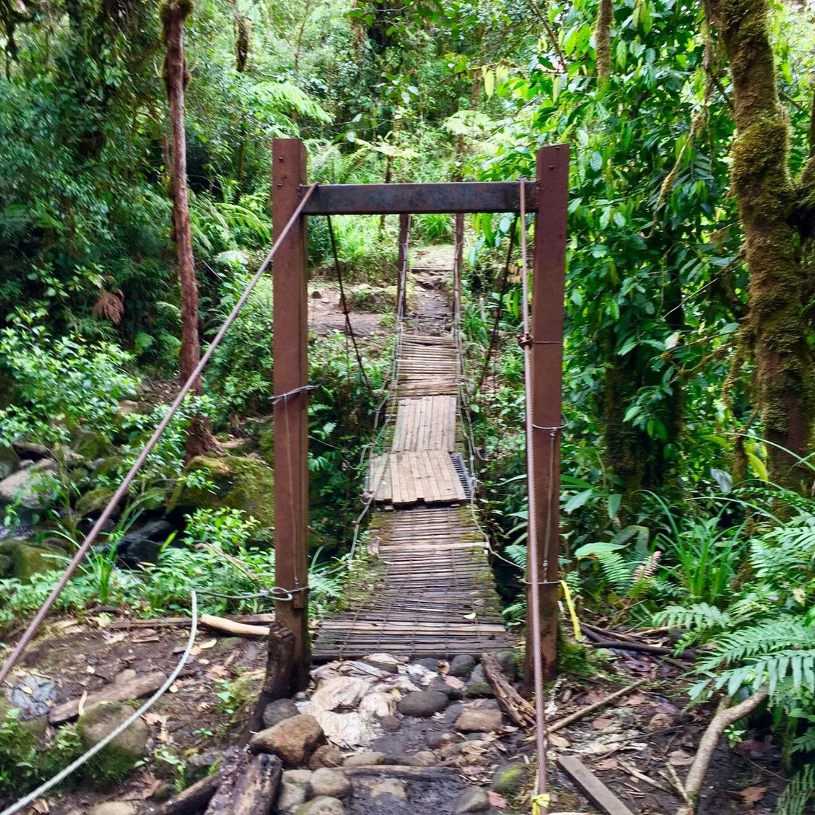
- Uneven trails where mud is a normal part of the experience.
- An ecological connection with the foothills of Braulio Carrillo National Park.
How to plan the visit
- Confirm opening and carry rainwear, spare clothes and hiking shoes.
- Ask where vehicles may stop and which internal trails will be open.
- Allow time to return before late afternoon, when fog and rain reduce visibility and pace.
Access and transport
Approach from San Rafael de Heredia and Monte de la Cruz using reserve directions.
Trail and conditions
Rain, mud and fog are frequent.
Mountain safety
Rain, mud and fog are frequent.
On-site signs, staff and official closures always take precedence over this guide.Responsible visit
Respect property, permits, trails and communities; leave no waste and do not publicize sensitive access without context.
How to understand this mountain
Cerro Dantas protects 57 hectares of primary and secondary cloud forest along Braulio Carrillo National Park. The experience is not summit-centred: trees, orchids, birds, streams and waterfalls make the wet approach the main attraction.
Logistics change with the vehicle. Refuge directions place a common parking area about 3.5 km from the facilities; an experienced 4WD driver may continue partway, but that removes neither internal trails nor driving restrictions.
Essential logistics
- Recommended format
- A full cloud-forest day
- Starting point
- San Rafael de Heredia via Calle Cerro Dantas; parking depends on vehicle
- Main exposure
- Rain, deep mud, streams and irregular terrain
- Guide and accompaniment
- Confirm directly with the refuge; advisable in adverse weather
Route by stages
Road and parking choice
About 20 km from UNA to the areaAsk the refuge about the final road. Rain, bridges and mud can change where leaving a vehicle is responsible.
Approach to the refuge
Up to about 3.5 km from a common parking pointThe entry walk already consumes time and energy. Protect clothing and electronics, and do not confuse road distance with walking distance.
Internal trails
Cloud forest · variable authorized routeChoose a circuit with management according to daylight and terrain. View streams and waterfalls from established passages rather than creating side access.
Decisions that shape the experience
Pack two dry layers
Ponchos and waterproofs do not prevent all moisture; a protected change improves the return and limits chilling.
Do not force the vehicle
Saving walking distance is not worth getting stuck or blocking access.
Prioritize forest over speed
Bird and plant observation requires pauses; do not design the day as a race to the refuge.
What to combine nearby
Monte de la Cruz
A more accessible recreation experience and useful alternative when Cerro Dantas access becomes difficult.
San Rafael and Heredia
Bases for food, transport and services; return before driving in dense fog or night rain.
Questions before booking
Is 3.5 km the complete route?
No. It references one common parking point to the refuge. Internal trails and the return add distance.
Is 4WD required?
It depends on road condition and parking. Confirm with management and never treat 4WD as a substitute for experience.
Is this a summit trail?
The visit focuses on the refuge and its cloud-forest trails rather than a conventional panoramic summit.
Editorial review: August 3, 2026. Access, permits, capacity, trails and conditions may change; reconfirm with the responsible management or organization.