
Route facts
- Distance
- 27.5 km each way from Tres Colinas; about 55 km round trip
- Estimated time
- 3–5 days
- Elevation
- Summit at 3,549 m above sea level
- Difficulty
- Extreme and remote
SINAC publishes a distance of 27.5 km each way between Tres Colinas and Cerro Kamuk, with an estimated duration of three to five days. Entry is limited and a local guide is mandatory. This is a camping expedition through wet terrain with long sections lacking a quick exit; confirm the itinerary and equipment with the park and community before travelling.
What you will find
- Talamanca forest, páramo and exceptional isolation.
- Transitions through very wet terrain, remote camps and complex navigation sections.
- One of the country's most demanding and least accessible mountain experiences.
How to plan the visit
- Never attempt it without a specialist operator, permits and evacuation plan.
- Confirm capacity, camps, food, porters and mandatory equipment with the community.
- Protect clothing and electronics from continuous moisture and expect limited communication.
Access and transport
Entry point and logistics depend on the authorized route and current conditions.
Trail and conditions
Isolation, rivers, mud, cold and limited communication increase risk.
Mountain safety
Isolation, rivers, mud, cold and limited communication increase risk.
On-site signs, staff and official closures always take precedence over this guide.Responsible visit
Respect property, permits, trails and communities; leave no waste and do not publicize sensitive access without context.
How to understand this mountain
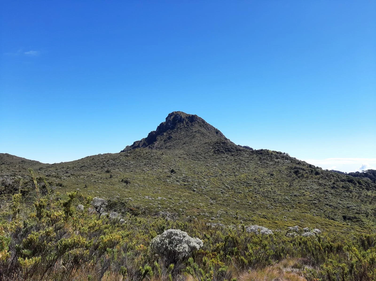
Cerro Kamuk lies inside La Amistad International Park, a binational region of exceptional ecological continuity. The trail crosses premontane forest, cloud forest and páramo before reaching 3,549 m; that transition matters as much as the summit.
SINAC publishes 27.5 km each way from Tres Colinas, 3 to 5 days and a daily maximum of nine visitors accompanied by a local guide. This is not merely a quieter Chirripó: it is more isolated, has less infrastructure and presents complex rescue logistics.
Essential logistics
- Recommended format
- A remote 3-to-5-day expedition
- Starting point
- Tres Colinas de Potrero Grande, Buenos Aires
- Main exposure
- Isolation, mud, rivers, páramo, 55 total km and severe weather
- Guide and accompaniment
- Mandatory local guide from the Tres Colinas Tourism Association
Route by stages
Tres Colinas and equipment check
Mandatory guide · small groupReview waterproofing, food, shelter, communication and emergency plan with the association. Meeting point and load distribution belong in the itinerary.
Forest and route camps
Mud, moisture and crossingsDaily distance adapts to terrain and weather, not only fitness. Protect feet from day one and never contaminate water sources.
Páramo, summit and exit
3,549 m · high exposureViews of both coasts require exceptional conditions and must not control decisions. The 27.5 km return preserves the same risks and requires food and time reserves.
Decisions that shape the experience
Accept guide judgment
Camp changes, turnaround or cancellation respond to safety and conservation in a remote area.
Carry reasonable redundancy
Dry protection, light, power, warmth and communication should not depend on one item.
Do not publish informal approaches
Community coordination protects the park and prevents uncontrolled entry.
What to combine nearby
Tres Colinas
The community organizes access and deserves time to understand its local tourism project.
Sabanas Esperanza
SINAC lists a separate 3.6 km-each-way PILA trail with community guiding; it is not an automatic Kamuk extension.
Questions before booking
Can experienced hikers go without a guide?
No. SINAC requires a local guide from the Tres Colinas Tourism Association.
Is the route 46, 55 or 70 km?
The current SINAC page states 27.5 km each way, about 55 km round trip. Historical and management documents may use different start points; follow the association’s current itinerary.
Is there phone coverage and rapid rescue?
Never assume so. Build communication and contingencies with the operator; isolation can delay any response.
Editorial review: August 3, 2026. Access, permits, capacity, trails and conditions may change; reconfirm with the responsible management or organization.