
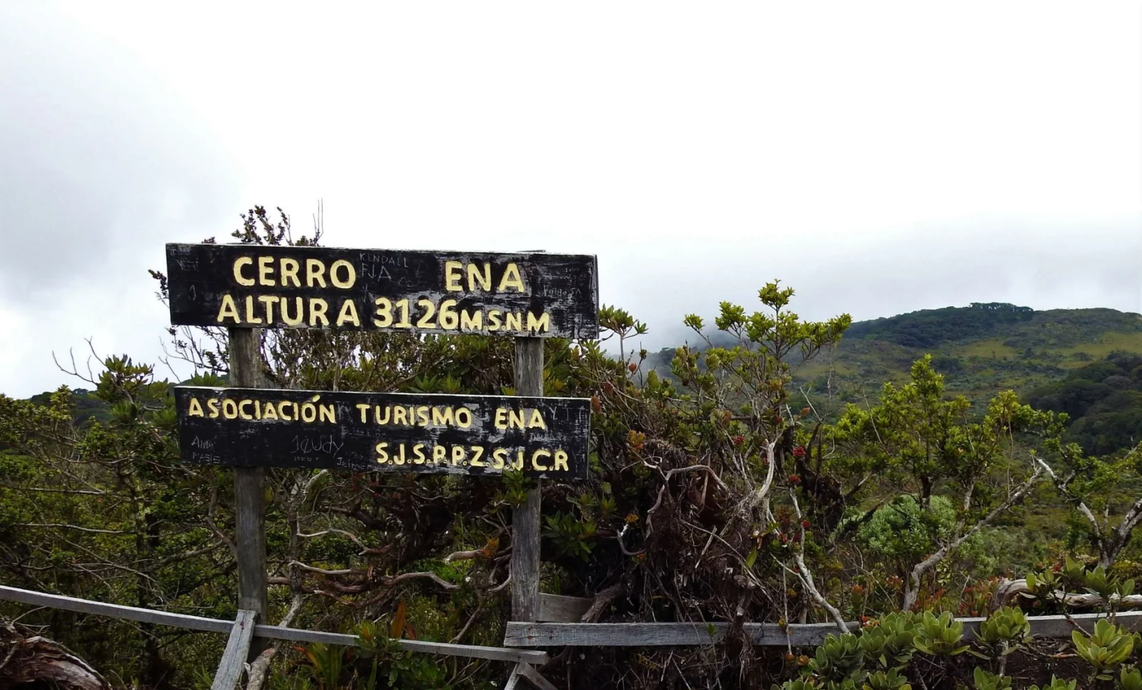
Route facts
- Distance
- About 12.5 km from the trailhead to the summit
- Estimated time
- 7–9 hr of hiking; logistics may require an overnight stay
- Elevation
- Summit above 3,000 m above sea level
- Difficulty
- High–extreme due to distance, gain and isolation
ATURENA places the trailhead about 3 km from central San Jerónimo and the summit approximately 12.5 km from that trailhead. Returning by the same route brings the reference close to 25 km walked. Published capacity is limited, and visitors must coordinate a guide, meals, lodging and trail status with the local organization.
What you will find
- Montane forest, páramo and a quieter community experience.
- A long climb from San Jerónimo through major changes in temperature and vegetation.
- Mountain lodging and local accompaniment as central parts of the experience.
How to plan the visit
- Coordinate with a recognized local group and confirm permits and trail status.
- Arrange the guide, meals, lodging, luggage and departure time in advance.
- Train for a long day and carry warm layers, rainwear and a backup light.
Access and transport
There is no spontaneous visitor access comparable to an urban park.
Trail and conditions
Distance, isolation and weather require a guide and emergency plan.
Mountain safety
Distance, isolation and weather require a guide and emergency plan.
On-site signs, staff and official closures always take precedence over this guide.Responsible visit
Respect property, permits, trails and communities; leave no waste and do not publicize sensitive access without context.
How to understand this mountain
Cerro Ena combines high mountain terrain with community management. ATURENA, based in San Jerónimo, maintains trails and the lodge near the summit within the sector added to Chirripó National Park; booking is part of conservation and access rather than an optional formality.
The association places the trailhead about 3 km from central San Jerónimo and the summit about 12.5 km from the start of the climb. Its published 7-to-9-hour figure describes a hiking day, while complete logistics may include approach, lodge and return.
Essential logistics
- Recommended format
- A community-run expedition that may require an overnight stay
- Starting point
- San Jerónimo de San Pedro, Pérez Zeledón
- Main exposure
- 12.5 km each way, major gain, cold and isolation
- Guide and accompaniment
- Operation and accompaniment coordinated with ATURENA
Route by stages
San Jerónimo coordination
Community registration · limited capacityConfirm package, guide, food, lodging, baggage and meeting point. Do not transfer the main Chirripó route’s rules automatically to this sector.
Forest ascent
Approximately 12.5 km to the summitThe trail gains elevation for hours and can collect mud. Pace the load and report knee, foot or breathing problems early.
Lodge, summit and return
Order depends on package and weatherA lodge near the summit does not remove the long return. Follow guide timing and any change driven by fog, wind or group condition.
Decisions that shape the experience
Buy the logistics actually needed
Packages vary; verify overnight stay, meals, baggage transport and accompaniment.
Do not treat it as spontaneous hiking
Published daily capacity is limited and access is coordinated from the community.
Save energy for descent
A long descent increases knee load and trip risk once fatigue develops.
What to combine nearby
San Jerónimo
The community is central to the experience and provides lodging, food and guiding.
San Isidro de El General
Regional supply and connection centre before or after the expedition.
Questions before booking
Does Cerro Ena use the Chirripó entrance?
No. It is coordinated through San Jerónimo and ATURENA. Do not arrive in San Gerardo expecting the booking to transfer.
Is 12.5 km round trip?
The association states approximately 12.5 km from the ascent start to the summit, so the return must be added.
Is the lodge always required?
It depends on the authorized package and plan. Given distance and effort, confirm the format explicitly before booking.
Editorial review: August 3, 2026. Access, permits, capacity, trails and conditions may change; reconfirm with the responsible management or organization.