
Route facts
- Distance
- Trail network; a short internal reference circuit is about 1.1 km
- Estimated time
- 30–90 min inside the park; longer when linking external routes
- Elevation
- Cool highlands of San Rafael de Heredia
- Difficulty
- Low–moderate inside the park
The municipal source describes a network with a lagoon, waterfall and trails but does not publish one total distance. A commonly recorded internal circuit is about 1.1 km and should be treated only as a reference. Routes continuing toward other reserves are not automatically part of the municipal walk and require separate checks for access, ownership, hours and difficulty.
What you will find
- Forest, viewpoints, picnic areas and cool weather.
- A lagoon, small waterfall and trails suited to a short outing.
- A recreation setting that introduces families and beginners to hiking.
How to plan the visit
- Confirm municipal hours and rules; carry a layer and rainwear.
- Arrive early on weekends and keep children accompanied near water and drops.
- Treat any continuation beyond the park as a separate route requiring its own planning.
Access and transport
Road access from San Rafael de Heredia; parking is limited on busy days.
Trail and conditions
Fog, rain and wet surfaces can appear quickly.
Mountain safety
Fog, rain and wet surfaces can appear quickly.
On-site signs, staff and official closures always take precedence over this guide.Responsible visit
Respect property, permits, trails and communities; leave no waste and do not publicize sensitive access without context.
How to understand this mountain
Monte de la Cruz is a mountain recreation park rather than a summit expedition. Its network combines a viewpoint, lawns, shelters, lagoon, forest and a small waterfall fed by the Bermúdez River, adapting to families or walkers seeking a short outing.
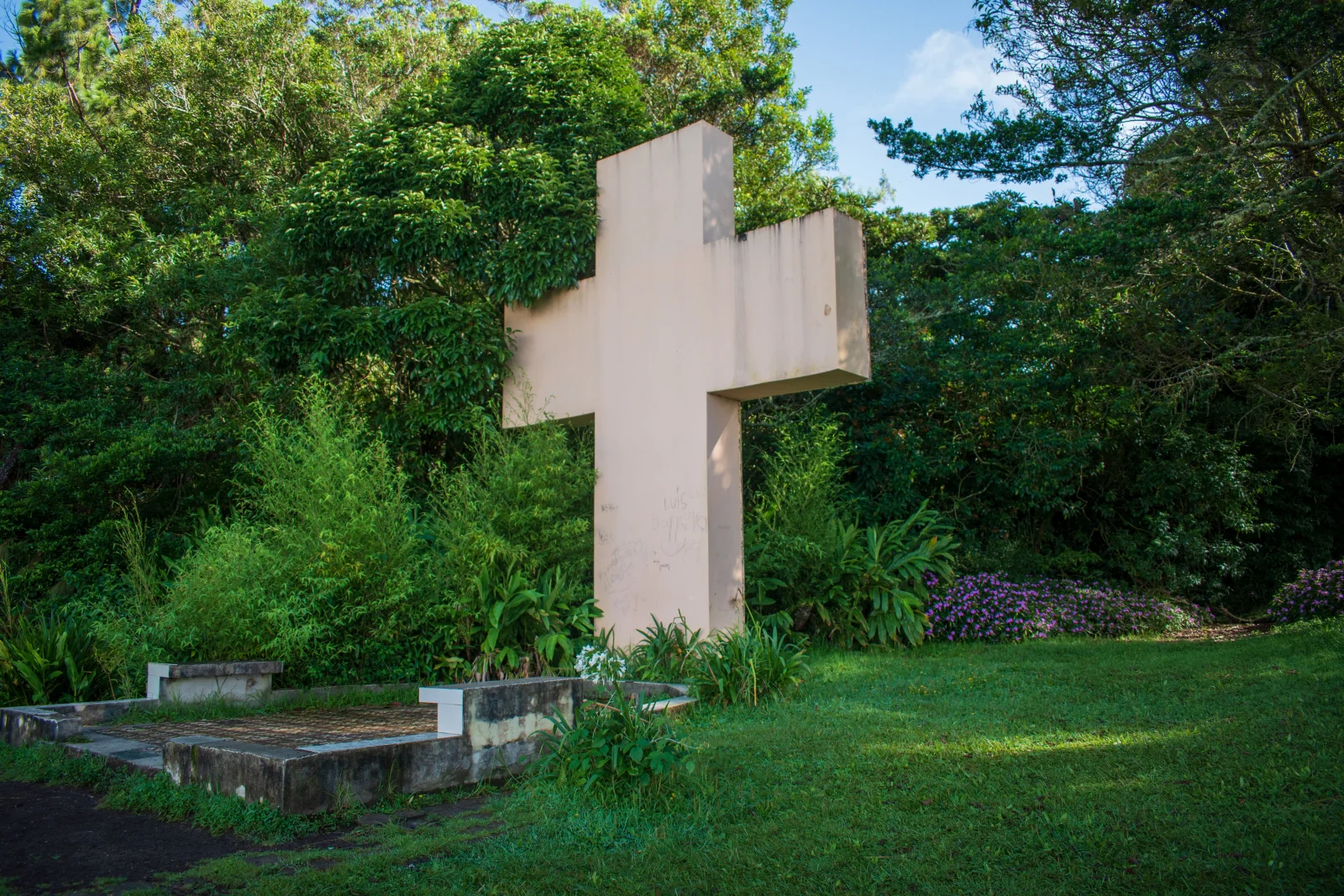
History is part of the site: the cross is associated with a chapel built in 1933, whose mosaic floor remains. Walking here means sharing space with picnics, bicycles, cars and training routes.
Essential logistics
- Recommended format
- A 2-to-4-hour mountain recreation visit
- Starting point
- Monte de la Cruz Tourist Park, San Rafael de Heredia
- Main exposure
- Cold, rain, mud and shared use with families, bicycles and vehicles
- Guide and accompaniment
- Usually unnecessary inside the park; confirm external routes
Route by stages
Entrance and objective choice
Admission and parking contributionDecide whether trail, viewpoint or family time is the priority. Ask which sections are open before leaving the facilities.
Internal network
Short circuits · forest and lagoonThe approximate 1.1 km reference describes a short circuit, not every walking option. Match the route to current signs and available time.
Return and external connections
Do not confuse park and neighbouring routesTrails toward areas such as Cerro Dantas can far exceed park difficulty. Never continue outside without route, permission and proper equipment.
Decisions that shape the experience
Separate recreation from training
A family group and a person linking external roads need different hours, gear and pace.
Respect picnic areas
Do not move quickly through shelters or crowds, and control pets only where permitted.
Prepare for rain on short walks
Elevation and forest can chill wet visitors quickly.
What to combine nearby
San Rafael de Heredia
Bus service, food and local heritage make a car-free visit possible.
Cerro Dantas
A cloud-forest reserve with a much harder approach; treat it as another activity.
Questions before booking
Is the full walk 1.1 km?
That is a short internal-circuit reference. Networks and connections vary; consult the current park map.
Is it suitable for beginners?
Internal trails are generally low to moderate difficulty, but mud, rain and personal condition still matter.
Can it be reached by bus?
The municipal platform reports regular service to the park. Confirm the timetable and last return before travelling.
Editorial review: August 3, 2026. Access, permits, capacity, trails and conditions may change; reconfirm with the responsible management or organization.