
Route facts
- Distance
- 14.5 km to Crestones Base + 5.1 km to the summit
- Estimated time
- 6–9 hr to the base; usually 2–3 days overall
- Elevation
- From 1,473 to 3,820 m above sea level
- Difficulty
- Extreme to the base; high toward the summit
The official route totals about 19.6 km each way from San Gerardo de Rivas to the summit, or 39.2 km round trip when returning on the same trail, excluding side trips. The first 14.5 km end at Crestones Base and the summit lies another 5.1 km away. Distance, elevation gain and altitude make this far more than a casual day hike.
What you will find
- Páramo, glacial lakes and high-mountain views.
- A gradual transition from montane forest to vegetation adapted to cold and wind.
- Options to combine the summit with Crestones, Ventisqueros or Morrenas when the booking allows.
How to plan the visit
- Book official admission and services; train and carry equipment for cold, rain and radiation.
- Separate the climb to Crestones Base from the summit outing instead of compressing the route.
- Plan food, lodging, transport to San Gerardo and a weather contingency margin.
Access and transport
Main access from San Gerardo de Rivas; use authorized trails only.
Trail and conditions
Altitude, cold, wind and distance can cause emergencies.
Mountain safety
Altitude, cold, wind and distance can cause emergencies.
On-site signs, staff and official closures always take precedence over this guide.Responsible visit
Respect property, permits, trails and communities; leave no waste and do not publicize sensitive access without context.
How to understand this mountain
Chirripó is more than a summit. The climb crosses montane forest and páramo into a landscape shaped by ancient glacial processes, including U-shaped valleys, moraines, lakes and cirques that SINAC associates with ice activity roughly 25,000 years ago.
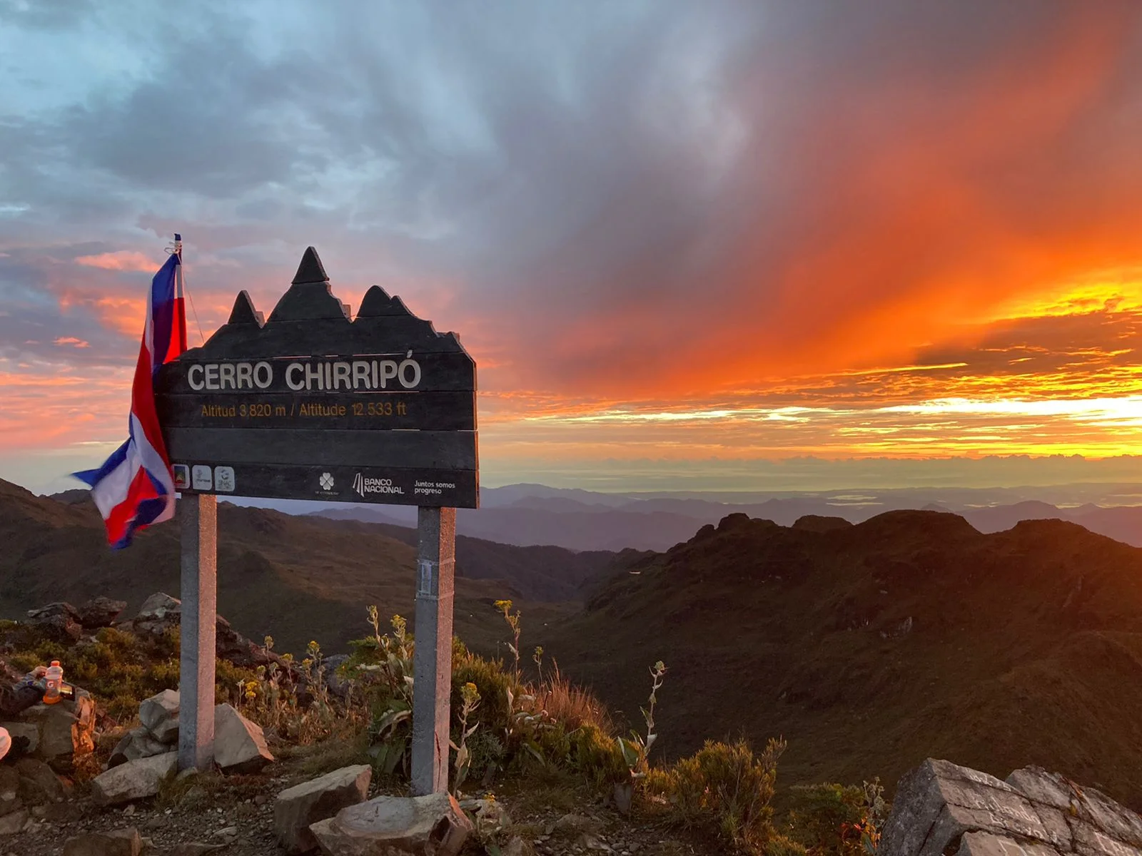
The meaningful figure is cumulative: 14.5 km from San Gerardo to Crestones Base and another 5.1 km to the 3,820-metre summit. Returning on the same trail approaches 39.2 km, before side trips such as Crestones, Ventisqueros or Morrenas.
Essential logistics
- Recommended format
- A minimum 2-to-3-day expedition
- Starting point
- San Gerardo de Rivas; advance booking required
- Main exposure
- Altitude, cold, radiation, wind and abrupt weather changes
- Guide and accompaniment
- Not required on the San Gerardo route; required on regulated community approaches
Route by stages
San Gerardo to Llano Bonito
Montane forest · conservative paceUse the opening section to control breathing, hydration and pack load. Starting too fast usually carries a cost higher up; the day’s goal is to reach the base functional, not to gain minutes early.
Llano Bonito to Crestones Base
Sustained climb · 3,393 mVegetation and air change with elevation. Eat before appetite drops, protect feet and report persistent headache, nausea, confusion or disproportionate breathlessness.
Crestones Base to summit
5.1 km each way · high difficultyThe outing often starts before dawn, but darkness, ice, wind or fog may change the plan. Reaching the summit never justifies compromising the return or ignoring park directions.
Decisions that shape the experience
Separate park booking from services
Admission, lodging, meals and baggage transport may use different processes. Keep receipts and verify what is actually included.
Build an alternative objective
Crestones, Ventisqueros or an internal valley can replace the summit when weather, health or time reduces the margin.
Train with load and elevation
Flat-distance walking does not reproduce the roughly 2,350-metre altitude change between San Gerardo and the summit.
What to combine nearby
San Gerardo de Rivas
Sleep here before and after, inspect equipment, confirm transport and support community services.
San Isidro de El General
Regional base for connections, supplies and recovery; avoid scheduling a long return immediately after the descent.
Questions before booking
Can it be climbed and descended in one day?
Distance and gain make that an extreme option rather than the normal visit. Plan Crestones Base and the summit on separate days.
Does admission include a bed and meals?
Never assume so. SINAC manages admission while concession services have separate arrangements; verify every component.
What should I do with altitude symptoms?
Stop ascending, tell companions or staff and descend when symptoms fail to improve. Never push through merely to reach the summit.
Editorial review: August 3, 2026. Access, permits, capacity, trails and conditions may change; reconfirm with the responsible management or organization.