
Route facts
- Distance
- About 8.9 km via the Ventoleras variant; other routes differ
- Estimated time
- 4–6 hr
- Elevation
- Summit near 2,271 m above sea level
- Difficulty
- High due to gain, mud and junctions
The municipality describes Pico Blanco as a challenging hike but does not define one official circuit. The 8.9 km reference corresponds to a commonly used Ventoleras variant and cannot be applied to every access point. Choose a formal route, verify property boundaries and return with enough daylight before fog or rain settles in.
What you will find
- Central Valley views and montane forest close to the city.
- Useful elevation training without travelling far from the metropolitan area.
- Rapid transitions between pasture, forest, rock, wind and fog.
How to plan the visit
- Choose a formal route, hike with others and download offline navigation.
- Confirm both entry and exit points because variants do not always return to the same place.
- Carry water, rainwear and a light even when the starting forecast appears stable.
Access and transport
Escazú Municipality publishes tourism information; never improvise farm crossings.
Trail and conditions
Fog, mud, wind and junctions increase navigation risk.
Mountain safety
Fog, mud, wind and junctions increase navigation risk.
On-site signs, staff and official closures always take precedence over this guide.Responsible visit
Respect property, permits, trails and communities; leave no waste and do not publicize sensitive access without context.
How to understand this mountain
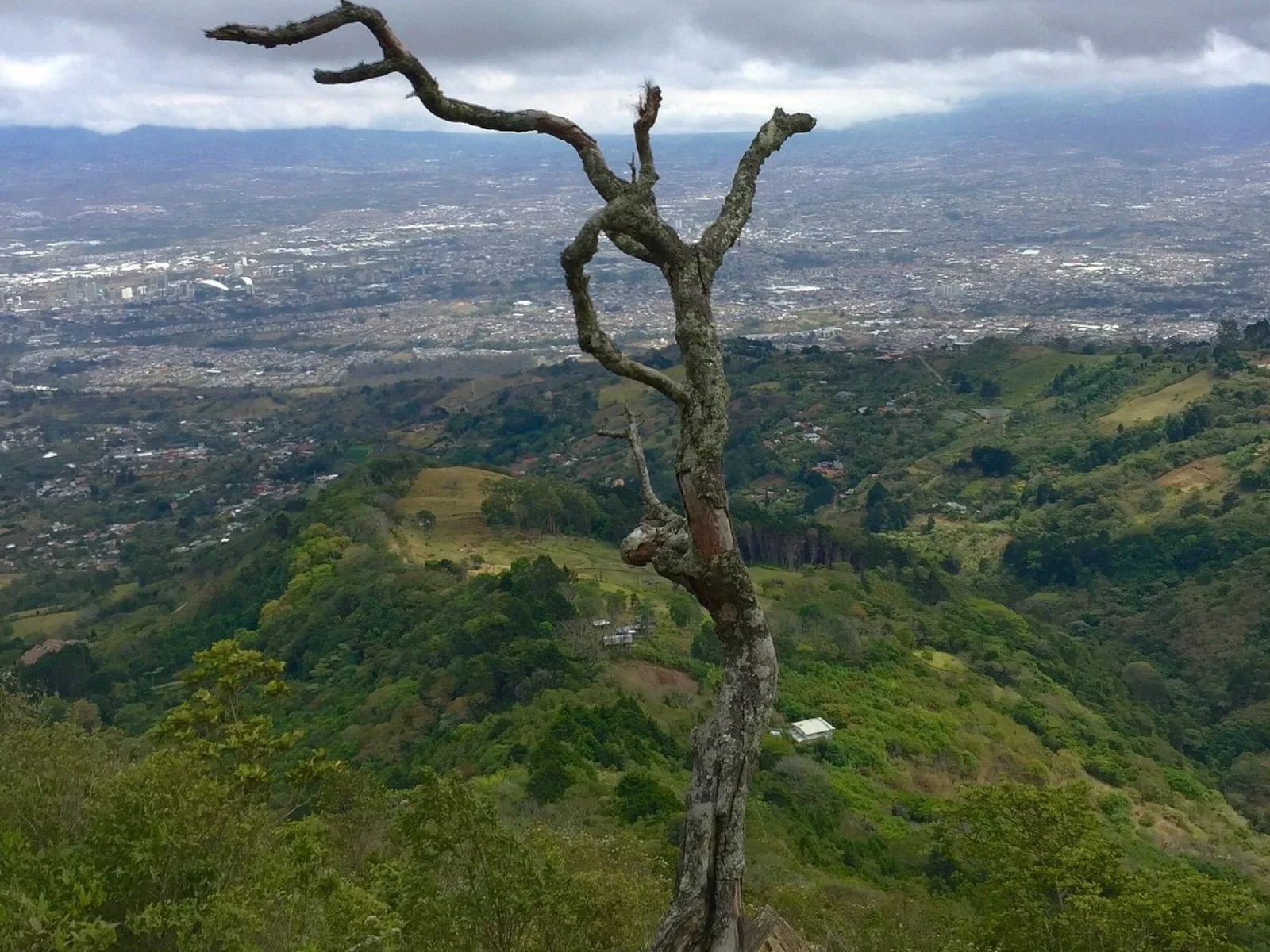
Pico Blanco offers mountain training close to the metropolitan area, but proximity does not make it an urban park. The route alternates rural tracks, pasture, cloud forest and slopes where visibility can disappear within minutes.
The roughly 8.9 km reference describes a commonly used Ventoleras-associated variant, not one municipal circuit. Entry, exit and property boundaries must be defined before starting to avoid finishing on another slope or farm.
Essential logistics
- Recommended format
- A demanding 4-to-6-hour hike depending on variant
- Starting point
- A formal Escazú Hills access coordinated before departure
- Main exposure
- Fog, mud, wind, junctions and property transitions
- Guide and accompaniment
- Strongly recommended on a first visit; the municipality refers visitors to local operators
Route by stages
Access and rural tracks
Confirm start and return pointsShare the location with someone outside the group and record the vehicle position. Never read an open gate as permission.
Forest and ascent
Mud, roots and sustained gainSave offline navigation but compare it with guide directions and signs. Moisture makes descents slippery even without heavy rain.
Summit and return
Near 2,271 m · variable visibilityDo not wait for cloud to close the route before returning. Preserve battery, light and a warm layer for delays.
Decisions that shape the experience
Define loop or point-to-point
Some variants do not return to the parking area and need transport at the endpoint.
Do not make the summit the only objective
Wind, rain or restricted access can make a lower viewpoint the responsible turnaround.
Hike with company
Coverage, signs and foot traffic are not consistent across every sector.
What to combine nearby
Escazú and San Antonio
Services and food close the day without another climb.
La Ventolera and La Huerta
The municipality presents a traverse combining these areas with Pico Blanco through local operators, not as an invitation to improvise.
Questions before booking
Does 8.9 km apply to every entrance?
No. It is a reference for a common variant. Request distance, gain, start and finish for the route you will use.
Can it be done without a guide?
Experienced hikers may know an authorized route, but a local operator is prudent for a first visit and avoids private crossings.
Why is navigation difficult so near the city?
Fog, multiple rural tracks and junctions remove visual references. Urban proximity does not replace navigation and planning.
Editorial review: August 3, 2026. Access, permits, capacity, trails and conditions may change; reconfirm with the responsible management or organization.