
Planning data
Practical visit facts
- Route or distance
- Coastal trail sections of 1.7, 2.2 and 2.8 km; your route depends on the entrance.
- Suggested time
- 4–6 hours.
- Admission and booking
- Check conditions for Playa Blanca or Puerto Vargas sector.
- Available facilities
- Services at entrances and in town; limited supplies along the trail.
Distances, hours, access and facilities may change because of weather, maintenance or operating decisions. Always confirm with the official source before leaving.
Content reviewed on July 28, 2026What you will find
- Coastal trail between Kelly Creek and Puerto Vargas.
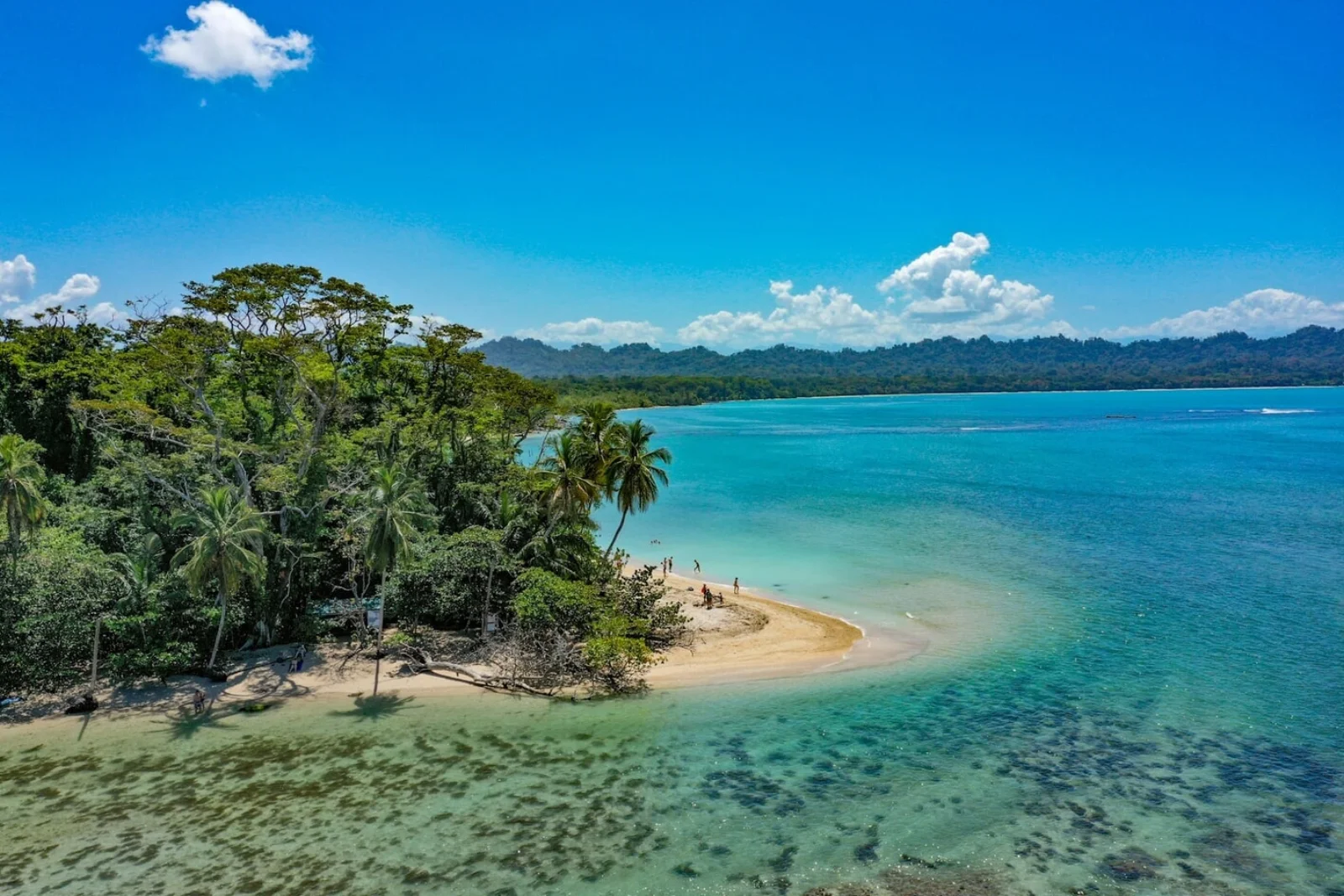
- Reef, pale beaches and wildlife-rich forest.
- Direct connection with the village and Southern Caribbean culture.
How to plan the visit
- Confirm which sector to use and its hours.
- Hire an authorized guide or operator for snorkelling.
- Check surf, rain and marine visibility that day.
Access and transport
Kelly Creek is beside Cahuita village; Puerto Vargas is accessed from the main road. Do not assume both sectors operate identically.
Trail and conditions
The trail is mostly low and humid. Rain, tides and surf alter conditions and can suspend activities.
Safety and park rules
Do not swim near river mouths or approach crocodiles or monkeys. Never touch or stand on coral.
On-site signs, staff and official closures always take precedence over this guide.Responsible visit
Never feed animals or remove marine life, and choose reef-responsible operators.
How to understand this park
Cahuita protects more marine than terrestrial habitat: reef, seagrass and shore connect with forest, wetland and mangrove. This continuity is why walking, swimming and snorkelling require different weather judgments.
Kelly Creek/Playa Blanca is integrated with town and uses a voluntary cash contribution; Puerto Vargas charges admission by card. Do not transfer one entrance’s rules to the other.
Practical plan
- Recommended time
- 2 to 4 nights in the Southern Caribbean
- Best base
- Cahuita for walking to Playa Blanca; Puerto Viejo for a broader regional base
- Getting around
- Bus, car or formal taxi; the two entrances operate differently
- Realistic pace
- Half a day on land plus a separate marine activity if conditions allow
Sectors, trails and routes
Playa Blanca from Kelly Creek
Coastal walk · town entranceForest, shore and wildlife in an adaptable outing. Heat requires breaks, and animals must never be fed or approached.
Puerto Vargas sector
Road access · separate servicesPlan from the opposite end subject to sector hours, trail conditions and current operation.
Cahuita reef
Authorized guide and suitable sea onlyVisibility, surf and safety determine departure. Never touch coral or chase turtles, fish or rays.
What to combine nearby
Cahuita
Walkable town with Afro-Caribbean identity, food and services directly connected to the park.
Puerto Viejo and Manzanillo
A regional complement for beaches and culture; spread visits across days instead of rushing the entire coast.
Questions before booking
Is admission free?
Playa Blanca requests a voluntary contribution; Puerto Vargas charges a fee. Confirm current payment methods and conditions.
Can I snorkel independently?
The protected reef requires an authorized guide and suitable conditions. A booked outing may be cancelled if the sea is unsafe.
How much does the park protect?
SINAC reports about 23,290 marine hectares and 1,102 terrestrial hectares, showing its strong coastal-marine role.
Editorial review: August 2, 2026. Hours, access, booking and closures may change; always reconfirm with SINAC.