
Planning data
Practical visit facts
- Route or distance
- Rural access requiring coordination; distance and route depend on the authorised visit.
- Suggested time
- 2–4 hours.
- Admission and booking
- Advance coordination with property, community or authorised operator.
- Available facilities
- Limited services beyond the meeting point.
Distances, hours, access and facilities may change because of weather, maintenance or operating decisions. Always confirm with the official source before leaving.
Content reviewed on July 28, 2026What you will find
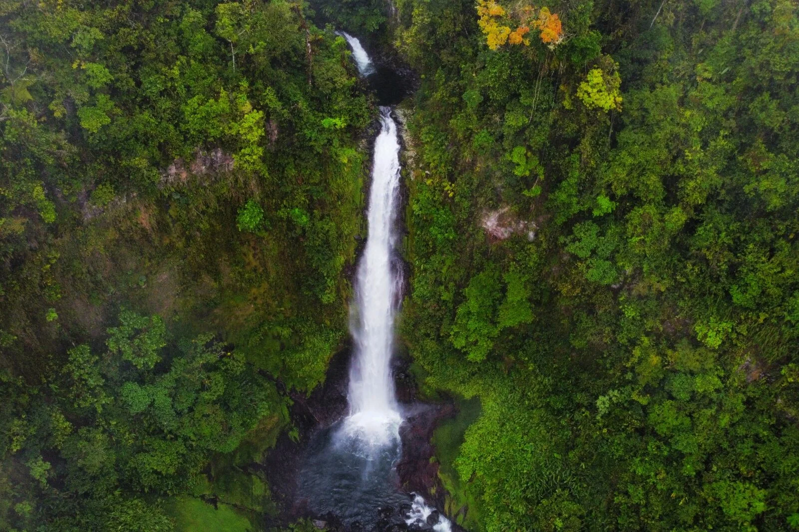
- Waterfall surrounded by forest and coffee farms.
- Proximity to the historic Aquiares community.
- A chance to combine nature, coffee and rural heritage.
How to plan the visit
- Arrange the visit with a local operator or host before arriving.
- Confirm property, trail, price and accompaniment included.
- Plan around the frequent rain of the Turrialba region.
Access and transport
Aquiares is north of Turrialba. Routes toward the waterfall should not be treated as unrestricted public access; follow only the agreed route.
Trail and conditions
The landscape is humid and may include mud, elevation and rural paths. Availability changes with harvests, maintenance and weather.
Water and safety
Do not enter farms or unmarked trails alone. Stay away from edges and the base during high flow.
On-site signs, staff and official closures always take precedence over this guide.Responsible visit
Hire identifiable local services, respect crops and property and remove no plants from the river corridor.
How to understand this waterfall
The waterfall belongs within a living coffee landscape. Roads, shade, streams and farm work explain the territory as much as the 30-plus-metre drop.
This is not a universally accessible recreation park. Property, harvest, maintenance and weather alter the route, making community or authorized-operator coordination part of the visit.
Practical plan
- Recommended time
- 2 to 3 hours with coordinated access
- Best base
- Turrialba or Aquiares
- Actual effort
- Moderate: rural tracks, mud and elevation
- Swimming
- Never assume; depends on access and local conditions
Step-by-step route
Aquiares and coffee landscape
Community and working farmBegin by understanding access and circulation rules. Never cross fields or property based only on a digital pin.
Waterfall trail
Variable rural routeExpect mud, slopes and narrow passages. A local guide adds context and prevents entry through private sectors.
Authorized viewpoint or base
Drop over 30 mRespect the indicated limit. Rock, vegetation and water force make off-route angles dangerous.
What to combine nearby
Turrialba
Base for railway heritage, food, Guayabo and agricultural landscapes.
Aquiares coffee route
A formal experience explains cultivation, processing, community and conservation beyond a photograph.
Questions before leaving
Can I simply follow Google Maps?
No. A location pin grants no property access; coordinate with community, farm or formal operator.
Is there a fixed trail distance?
Availability and route vary with farm operation, weather and maintenance. Confirm the booked format.
Is this a swimming waterfall?
Never assume. Enter only under responsible management authorization and safe flow.
Editorial review: August 3, 2026. Opening, flow, access and swimming areas may change; reconfirm with the responsible operator.