
Planning data
Practical visit facts
- Route or distance
- Viewpoint and approximately 530 steps to the lower sector.
- Suggested time
- 1.5–2.5 hours.
- Admission and booking
- Community reserve admission; use the official sales channel.
- Available facilities
- Parking, toilets and food services at the complex.
Distances, hours, access and facilities may change because of weather, maintenance or operating decisions. Always confirm with the official source before leaving.
Content reviewed on July 28, 2026What you will find
- Humid-forest reserve below dormant Chato volcano.
- Front viewpoint and a route of approximately 530 steps.
- Admission supports community projects managed by ADIFORT.
How to plan the visit
- Buy admission through the official website and confirm hours and capacity.
- Save energy for the staircase back up.
- Pair it with only one additional activity to avoid rushing.
Access and transport
The entrance is a few kilometres from central La Fortuna. Arrive by road, taxi or arranged transport; walking from town is not the most comfortable option because of distance, heat and traffic.
Trail and conditions
The route includes stairs, humidity and surfaces that can become slippery. Flow and permitted swimming areas change after rain.
Water and safety
Do not enter beneath the main drop or closed sectors. Follow staff directions, assess current before entering the river and stay out during storms or floods.
On-site signs, staff and official closures always take precedence over this guide.Responsible visit
Never feed wildlife, leave designated areas or abandon waste. Community management depends on visitors protecting the forest and river.
How to understand this waterfall
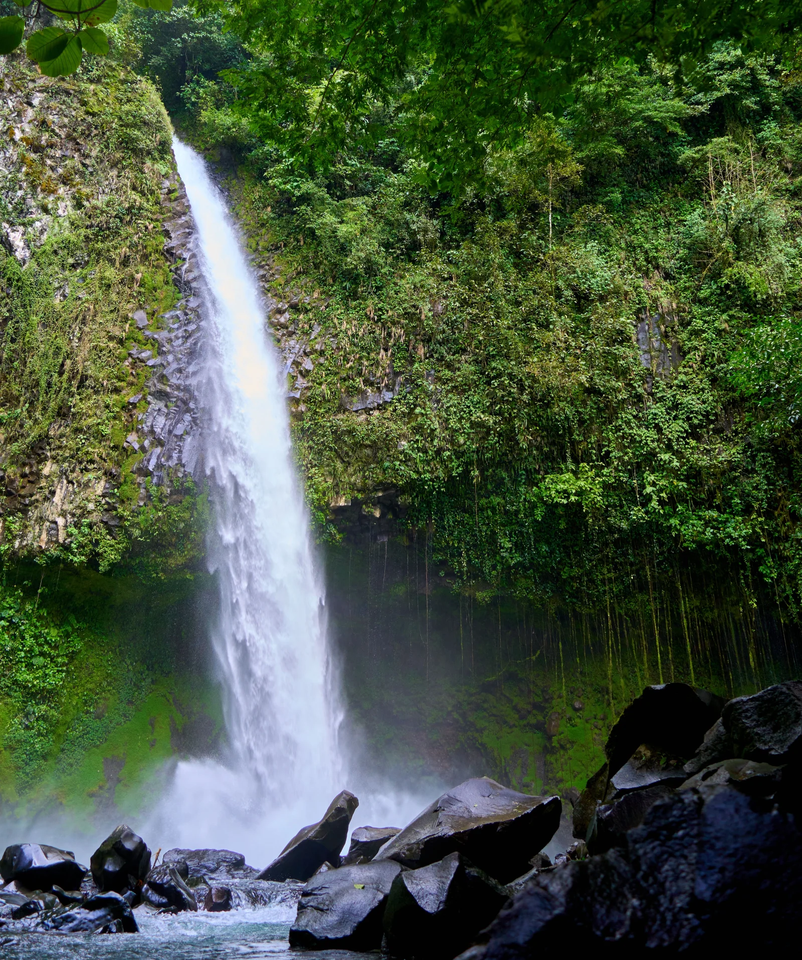
The roughly 70-metre drop is one feature of a 210-hectare premontane humid-forest reserve. The route crosses native vegetation below Chato volcano before reaching the lower viewpoint.
ADIFORT’s management sets this apart from a conventional private attraction: admission supports community projects in education, roads, environment, sport, culture and public safety.
Practical plan
- Recommended time
- About 2 to 3 hours
- Best base
- La Fortuna
- Actual effort
- Moderate: descent and return over roughly 530 steps
- Swimming
- Only in designated river areas when flow allows
Step-by-step route
Upper viewpoint
First reading · low effortStudy height, rock wall and forest before descending. This is where the group should assess whether everyone can manage the climb back.
Forest staircase
Approximately 530 stepsDescend slowly and use rest points. Moisture increases slip risk, and the climb is more demanding than the way down.
Lower viewpoint and river
Flow-regulated areaFeel the spray and force of water from the base. Never swim below the main drop; use only the area identified by staff.
What to combine nearby
La Fortuna and Arenal volcano
Hot springs, trails and viewpoints work better as a separate activity than immediately after a tiring visit.
El Salto and Fortuna River
These are separate places with their own access and risks; waterfall admission covers no other river sector.
Questions before leaving
Must the 530 steps down also be climbed?
Yes. There is no transport from the base to the entrance. Save energy and do not judge difficulty only by the descent.
Is the reserve part of Arenal Volcano National Park?
The official operator states that it lies within that area and that ADIFORT manages this natural site and visit.
Is swimming always allowed?
Not necessarily. Rain and flow determine open areas; staff instructions take priority.
Editorial review: August 3, 2026. Opening, flow, access and swimming areas may change; reconfirm with the responsible operator.